Introduction
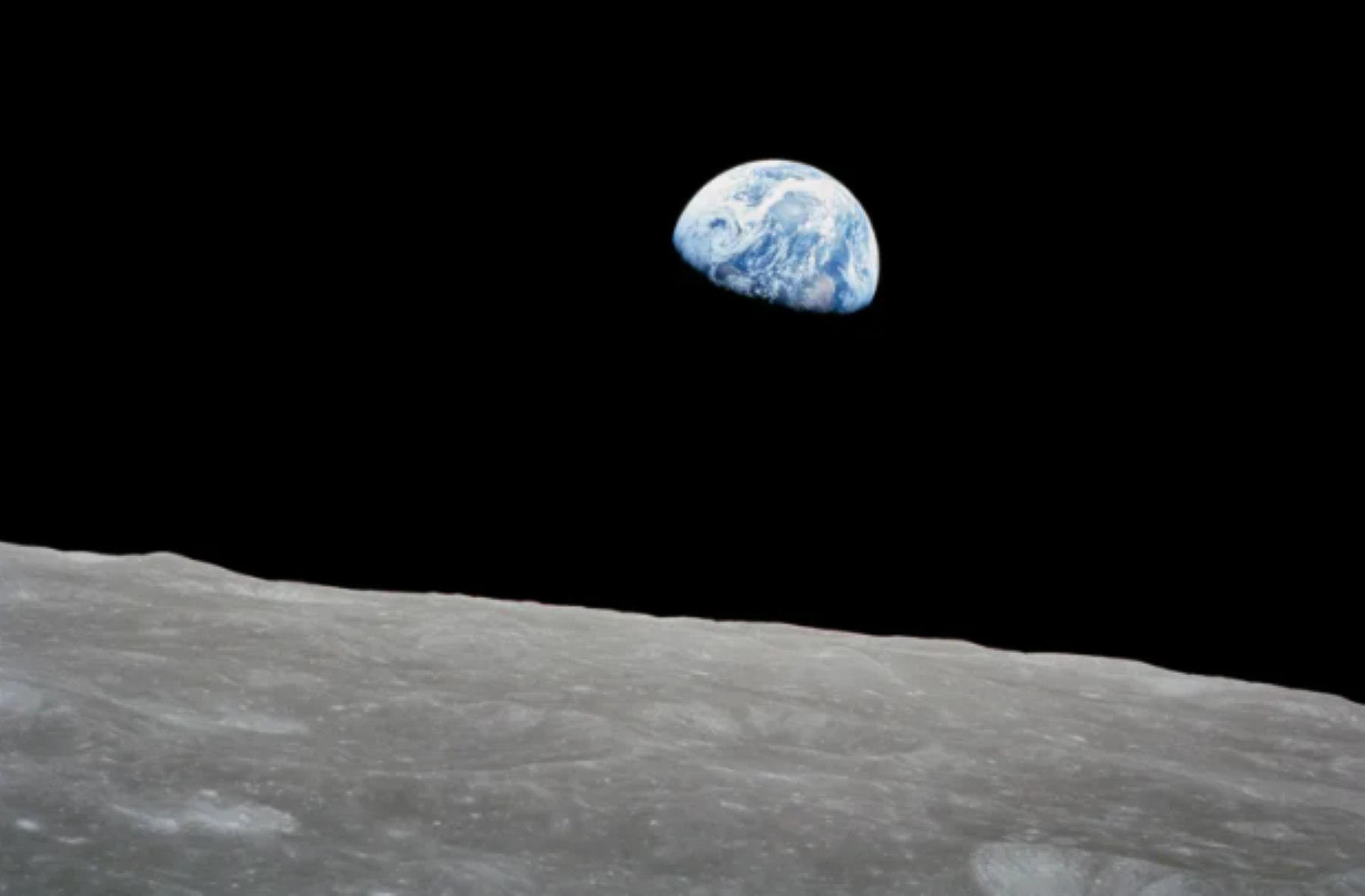
In an era where satellite observations of Earth are commonplace, it’s easy to forget that only a few decades ago, the amount of information available about the state of Earth’s environment was limited; observations were infrequent and data were sparsely located.
As far back as the late 1950s, there were primitive numerical weather prediction (NWP) models that could produce an accurate (or what a forecaster would call “skillful”) forecast given a set of initial conditions. However, the data available to provide those initial conditions at that time were limited. For example, the weather balloon network circa 1960 only covered about 10% of the troposphere and did not extend into the Southern Hemisphere, the tropics, or over the ocean.
Weather forecasters of the pre-satellite era typically relied upon manual analysis of plotted weather maps, cloud observations, and barometric pressure readings when making forecasts. They combined this limited dataset with their own experience issuing forecasts in a particular area to predict upcoming weather and storm events. While those pioneering forecasters made the most of the limited tools available to them, poor data – or simply the lack of data – inevitably led to poor forecasts, which usually weren’t accurate beyond two days. This time duration was even less than that in the Southern Hemisphere. As a result, the forecasts issued typically lacked the specificity and lead time required to adequately prepare a community before a snowstorm or hurricane.
Although the first satellite observations (e.g., from the Television Infrared Observation Satellite (TIROS) program or early Nimbus missions) whet forecasters’ appetites for what might be possible in terms of improving weather forecasting, polar orbiting satellites could only observe a given location twice a day. Those snapshots from above were insufficient for tracking rapidly evolving weather phenomena (e.g., thunderstorms, tornadoes, and intensification of hurricanes). Beyond cloud information, forecasters required data on temperature, moisture, and wind profiles in the atmosphere in addition to output from NWP models.
It was the advent of geostationary observations (also called geosynchronous) that truly led to revolutionary advances in weather forecasting. This approach enabled continuous monitoring of the atmosphere over a particular region on Earth. Hence, the development and evolution of NOAA’s Geostationary Operational Environmental Satellites (GOES) has been a major achievement for weather forecasting.
For 50 years, GOES have kept a constant vigil over the Western Hemisphere and monitored the Sun and the near-Earth environment – see Visualization 1. Since 1975, the National Oceanic and Atmospheric Administration (NOAA) and NASA have partnered to advance NOAA satellite observations from geostationary orbit. GOES satellites serve as sentinels in the sky, keeping constant watch for severe weather and environmental hazards on Earth as well as dangerous space weather. This narrative will focus on the development and evolutions of the Earth observing instruments on GOES with a mention of several of the space weather instruments.