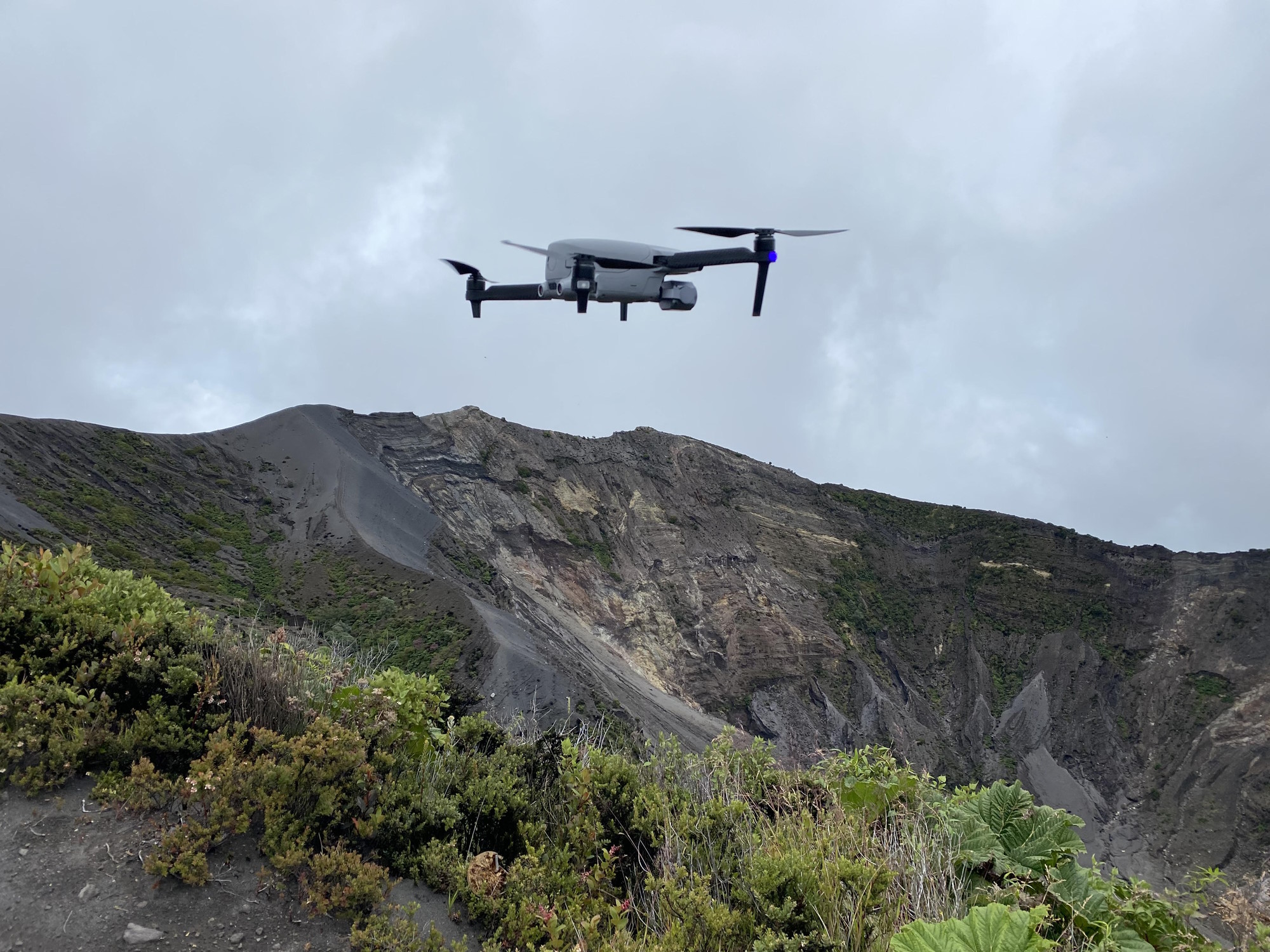
Autel Robotics’ Drone Helps Scientists with Volcano Research

| An Autel Robotics drone was used by a scientific team of international academics to document activities on Irazú Volcano in Costa Rica. The Autel EVO Lite+ drone was selected by the scientists because of its high-quality sensor and durability, making it an ideal solution for conducting professional research with an Unmanned Aerial Vehicle (UAV). |
Volcanic winds no problem for drone
The EVO Lite+ was able to fly safely through 17 knot winds and can be used in conditions up to 37 knots, making it a perfect fit for the high-altitude project. The drone was piloted by Ian Godfrey, a certified FAA Part 107 Remote Pilot, who is SINAC Certified for UAS (Unmanned Aircraft System) operations in National Parks. The scientific team gathered vital data without complications and reported that the drone performed supremely well, despite the high altitude volcanic environment at 3432 meters above sea level with notable windy conditions.
“Personally I really like the sensor and overall durability of the drone,” Ian Godfrey commented. “We operated in many complex environments, and the drone performed perfectly. These factors allowed us to gather the necessary data without complication. The drone performed wonderfully in high altitude volcanic environments and had great wind resistance, making it both an economical and ideal solution for conducting professional research with a UAS.”
Insightful new data gathered
The scientific team used the Autel EVO Lite+ drone to document several aspects of the Main Crater of the Irazú Volcano, including lake water levels, areas of mineralization or crystallization, potential vents degassing volcanic emissions – and that no subaquatic fumaroles were found. They also checked for areas that might suffer from future rock falls and for areas of increased risk of erosion or cracking within the main crater of the volcano.
Drone features ideal for task
The perfect balance of power, durability and portability, Autel’s EVO Lite+ camera drone can stay in the air for 40 minutes, and features cinematic flight modes and camera settings to fully utilize its professional-grade camera. In challenging natural environments with cloud reflection challenges, ultra wide angle obstacle avoidance helps navigate easily around obstacles such as trees and rocky outcrops. Pilots can enjoy crisp, clear visuals with Autel SkyLink and a transmission range of 7.4 miles. Autel’s moonlight algorithm also provides excellent low-light performance.
Autel Robotics is proud to have cooperated on this scientific research project and hopes that it demonstrates the viability and practicality of using affordable consumer drones for professional research. The EVO Lite+ UAV was proven capable of creating 2-D maps and 3-D models of volcanic geological features, and the team is continuing to use these drones in the field.
For more details of this research, please visit:
https://publish.mersin.edu.tr/index.php/uav/article/view/740
About Autel Robotics
Autel Robotics is a team of industry professionals with a genuine passion for technology and years of engineering experience. Since its founding in 2014, Autel has always striven for customer-driven innovation and is continually working to raise the industry standard for drones. The company’s headquarters is in Shenzhen, the heart of China’s tech industry; it also has R&D bases around the world including Seattle, Munich, and Silicon Valley. For more information, visit www.autelrobotics.com, or follow Autel Robotics on Facebook @autelrobotics, and Instagram @autelbotocis, or subscribe to the Autel Robotics YouTube Channel.


