
Digital Surface and Terrain Model
-
Press Releases
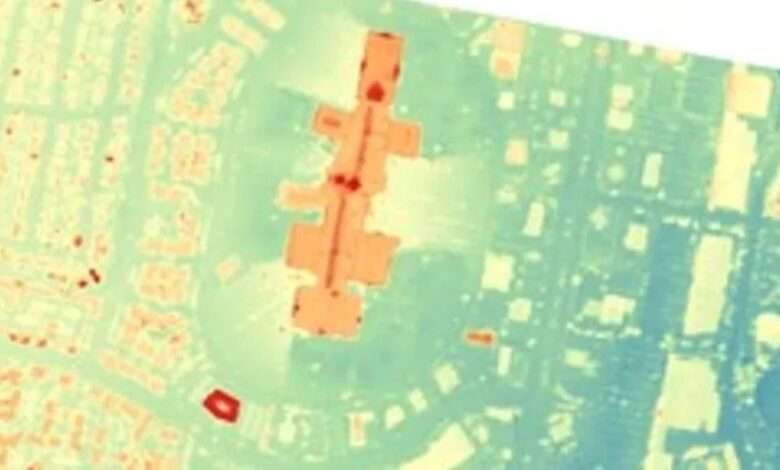
Digital Surface and Terrain Models from Vantor’s Precision3D Product Line Added to Satellite Data Explorer
NASA’s Commercial Satellite Data Acquisition (CSDA) Program announces the addition of three digital elevation and digital terrain products from Vantor’s Precision3D Product Line to its Satellite Data Explorer (SDX) data access and discovery tool. The products include: Digital Surface Model (DSM) at 1-meter spatial resolutionThe DSM is a 3D elevation model derived from imagery captured by Vantor’s constellation of Worldview…
Read More »