Landsat 8
-
NASA
Anak Krakatau Rumbles Again
Eruptions are a regular occurrence at Anak Krakatau, a small volcano between the Indonesian islands of Java and Sumatra. Much of its activity remains relatively mild, but it occasionally puts on more impressive and hazardous shows of force. In early September 2026, a booming eruption lasting more than 24 hours sent gas and ash high into the atmosphere, disrupting thousands of…
Read More » -
NASA
Rare, Widespread Snow in the Atacama Desert
In August 2026, back-to-back winter storms left parts of the Atacama Desert in northern Chile covered in a rare blanket of snow. The typically arid region has seen snowfall before, notably in 2025 and before that in 2011. But one of the 2026 events was unusually widespread, stretching from the Andes to near the Pacific coast. The OLI (Operational Land Imager) on…
Read More » -
NASA
The Birthplace of the United States
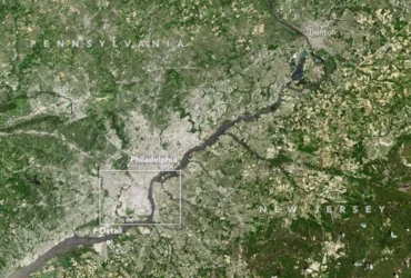
June 1, 2013 Editor’s note: In honor of America’s 250th birthday, Earth Observatory is revisiting stories about the landscapes that helped shape U.S. history. The images and text on this page were originally published on July 4, 2017. Explore the full collection here. Situated between the Schuylkill and Delaware rivers, Philadelphia was founded in 1682 by William Penn as the seat of a Quaker colony.…
Read More » -
NASA
Star-Spangled City
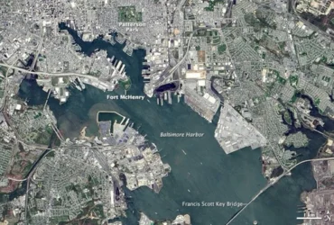
Editor’s note: In honor of America’s 250th birthday, Earth Observatory is revisiting stories about the landscapes that helped shape U.S. history. The images and text on this page were originally published on September 14, 2014. Explore the full collection here. The song is familiar to every American, but the moment and place where it was composed are less so. On April 24,…
Read More » -
NASA
Tornado Draws a Jagged Line in Mississippi
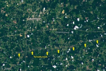
A powerful supercell storm produced multiple tornadoes across southern Mississippi on May 6, 2026. The longest and most powerful spanned five counties, delivering wind speeds up to 137 miles (220 kilometers) per hour and EF-3 damage, as gauged by the Enhanced Fujita Scale, to several areas. Part of this tornado’s destructive path was visible to the Landsat 8 satellite when it passed over the area…
Read More » -
NASA
A Sea of Spinning Clouds
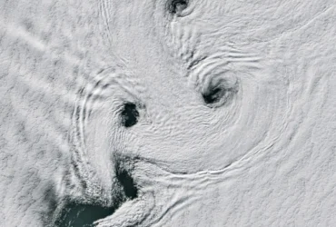
Over the Southern Ocean surrounding Antarctica, winds can whip around the globe relatively unimpeded by land. Intrepid sailors termed these southern latitudes the Roaring Forties, Furious Fifties, and Screaming Sixties on account of the strong prevailing winds. When those winds encounter a barrier like an island, the disruption in airflow can be beautiful. One impediment, shown here, is remote Peter I Island.…
Read More » -
NASA
Thailand’s Krabi Coast
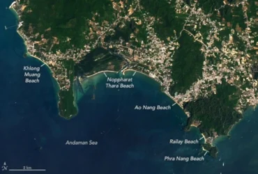
Along the western coast of Southern Thailand, a series of bright tan beaches lines the Andaman Sea. These sandy expanses fill the gaps between the myriad other features touching the sea, from limestone karst towers to mangroves to built-up areas. The OLI (Operational Land Imager) on Landsat 8 captured these images on March 23, 2026, showing part of the coastal area along Thailand’s Krabi…
Read More » -
NASA
Lava Flows Down Mayon
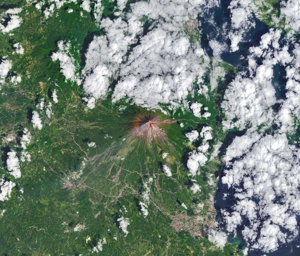
The OLI (Operational Land Imager) on Landsat 8 acquired this rare, relatively clear image of Mayon, the most active volcano in the Philippines, on Feb. 26, 2026. The natural-color scene is overlaid with infrared observations to highlight the lava’s heat signature. On that day, the Philippine Institute of Volcanology and Seismology (PHIVOLCS) reported volcanic earthquakes, rockfalls, and hot clouds of ash and debris called pyroclastic flows. Along…
Read More » -
NASA
A Bit of Gray on an Emerald Isle
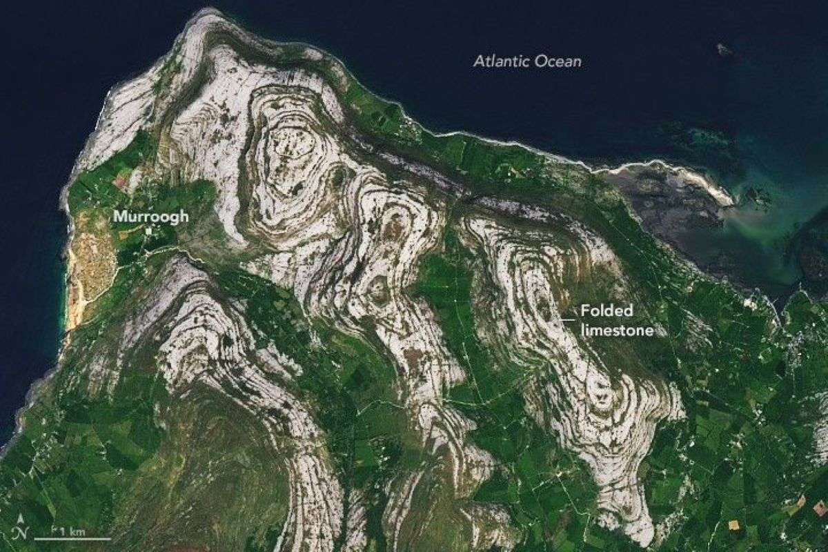
Today’s story is the answer to the March 2026 puzzler. Though Ireland is known for the many shades of green that grace its grassy pastoral landscapes, there’s one corner of the Emerald Isle where gray reigns supreme. In the Burren region, on the island’s west coast, what geologists describe as limestone pavement covers much of the rocky, treeless landscape. The OLI (Operational Land Imager) on Landsat 8 captured this view of the Burren on…
Read More » -
NASA
Icy Hudson River
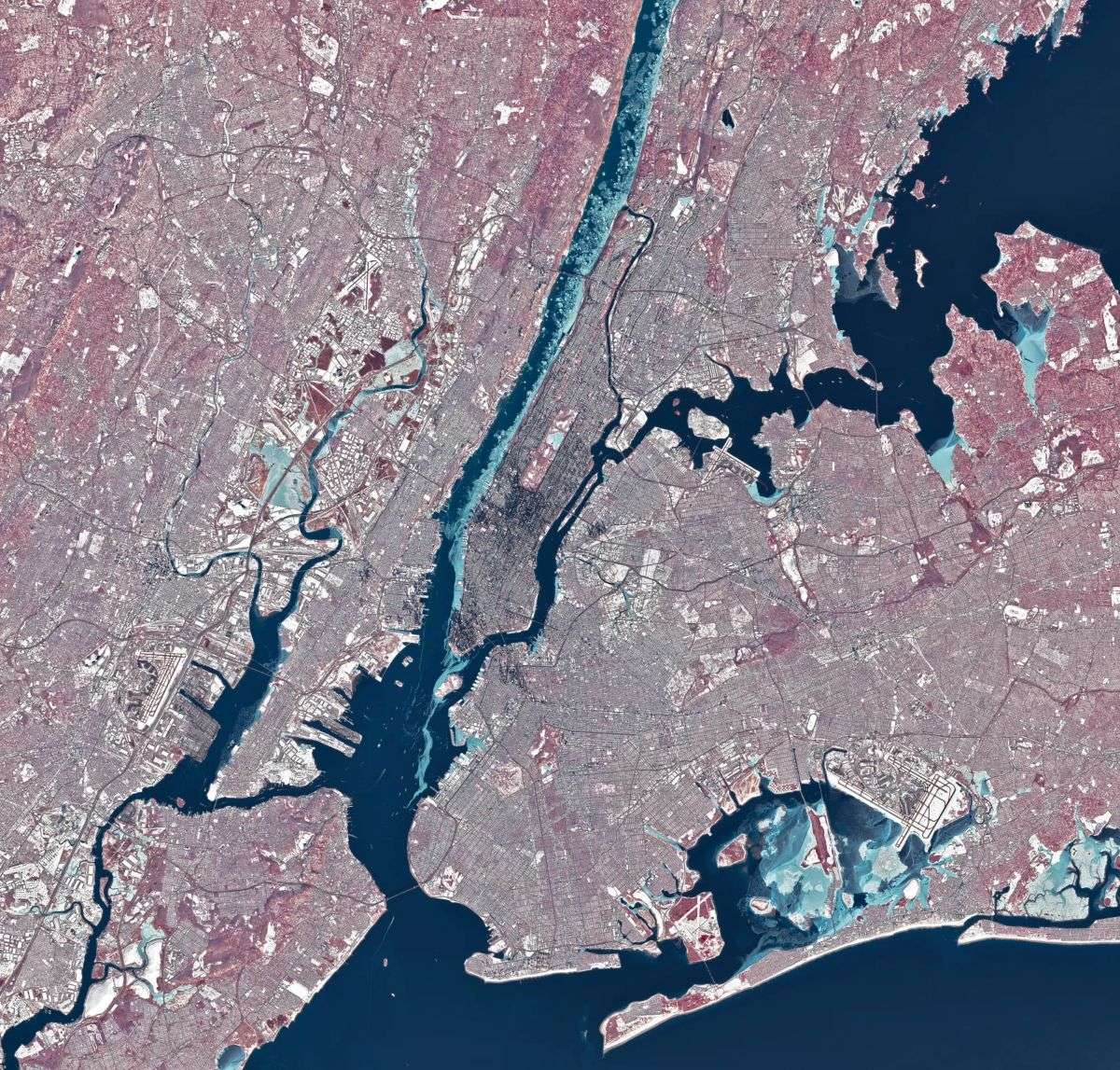
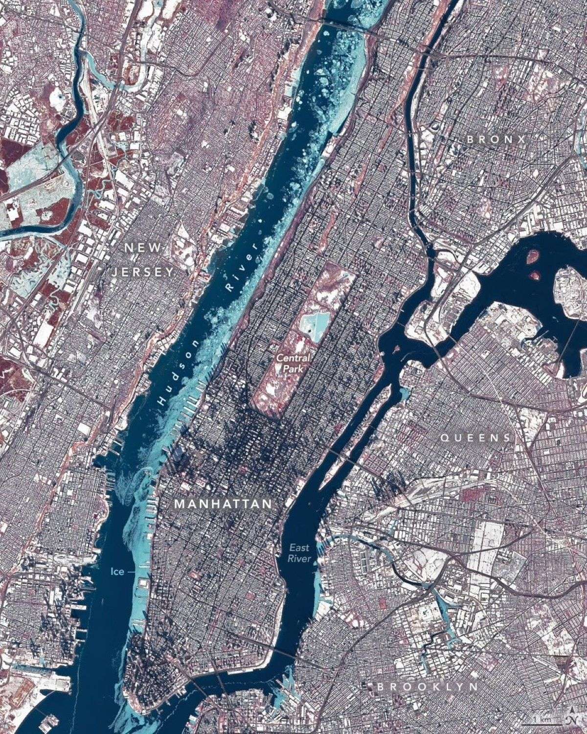
During a stretch of frigid weather in late January 2026, ice choked the Hudson River along Manhattan’s western shore. The OLI (Operational Land Imager) on Landsat 8 captured this image of the wintry landscape around midday on Jan. 28. This image uses representational color to distinguish ice (light blue) from open water and snow. Vegetation appears red. Much of the ice in the image…
Read More »