Landsat 9

  • NASA

    An Uncommon Drifter in the Denmark Strait

    Greenland’s jagged coastline is lined with fjords, many of them cradling marine-terminating glaciers that routinely calve icebergs into the water. It’s common to see these bergs, small and large, drifting in the island’s fjords each summer once the sea ice breaks up. In summer 2026, one exceptionally large berg turned up in the Denmark Strait—more than a thousand kilometers south…

    Read More »
  • NASA

    Fans of the Arctic

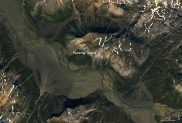
    Editor’s Note: Today’s story is the answer to the July Puzzler. Call it an alluvial face-off. On the southern end of Severny Island in the Russian Arctic, rivers rush down from rugged terrain flanking a broad valley. Upon reaching flatter ground, the waters slow and distribute sediment into cone-shaped features called alluvial fans. Several appear in opposing orientations alongside a braided river…

    Read More »
  • NASA

    America’s Emerald Isle

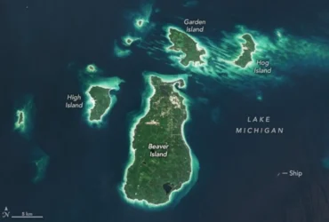
    In a process that played out over thousands of years, a retreating ice sheet carved, scoured, and shaped the landscape of the present-day Great Lakes. In northern Lake Michigan, this sculpting left distinct ridges and valleys running north-to-south along the lake floor. Some parts of those ridges, made of erosion-resistant rock, have remained above the waves of the big lake, forming the Beaver Archipelago.…

    Read More »
  • NASA

    Melting Snow Off Shivelyuch

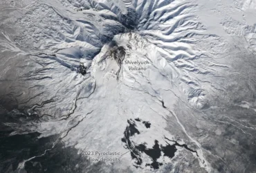
    Shivelyuch (also called Shiveluch), the most northerly active volcano on the Kamchatka Peninsula, is one of the most active volcanoes in the world. On a near-daily basis, satellites detect new signs of activity within its horseshoe-shaped caldera, including thermal anomalies, hot avalanches and debris flows, and ash deposits that darken the surrounding landscape. The Landsat 9 satellite captured this image of the towering volcano—one of…

    Read More »
  • NASA

    Satellite Spots a Spawn

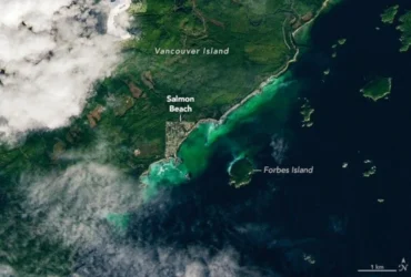
    Spawning season has sprung for Pacific herring (Clupea pallasii) in the waters off British Columbia, Canada. From mid-February through early May each year, thousands of the small, silvery fish congregate in shallow coastal areas around Vancouver Island and create a spectacle sometimes visible to satellites. Sheltered waters in Barkley Sound, on the southwestern side of Vancouver Island, are regular sites for spawn events. On…

    Read More »
  • NASA

    Restless Kīlauea Launches Lava and Ash

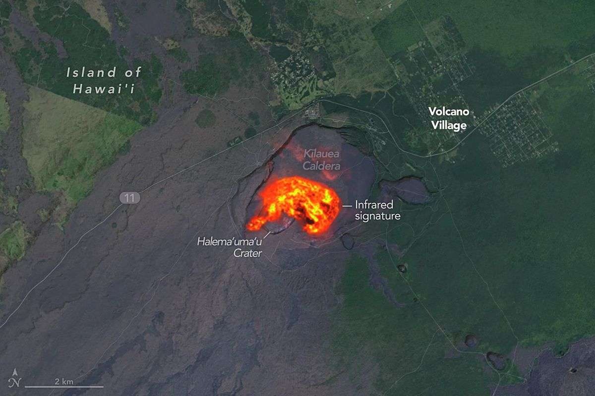
    Kīlauea has entered its second year of episodic activity after reawakening in December 2024. Since then, the Hawaiian volcano has gone through dozens of bouts of lava fountaining, each lasting several hours to several days. Activity ramped up once again on March 10, 2026, for episode 43 of the eruption. From approximately 9 a.m. to 6 p.m. local time that day, lava spewed…

    Read More »
  • NASA

    A Most Unusual Lake

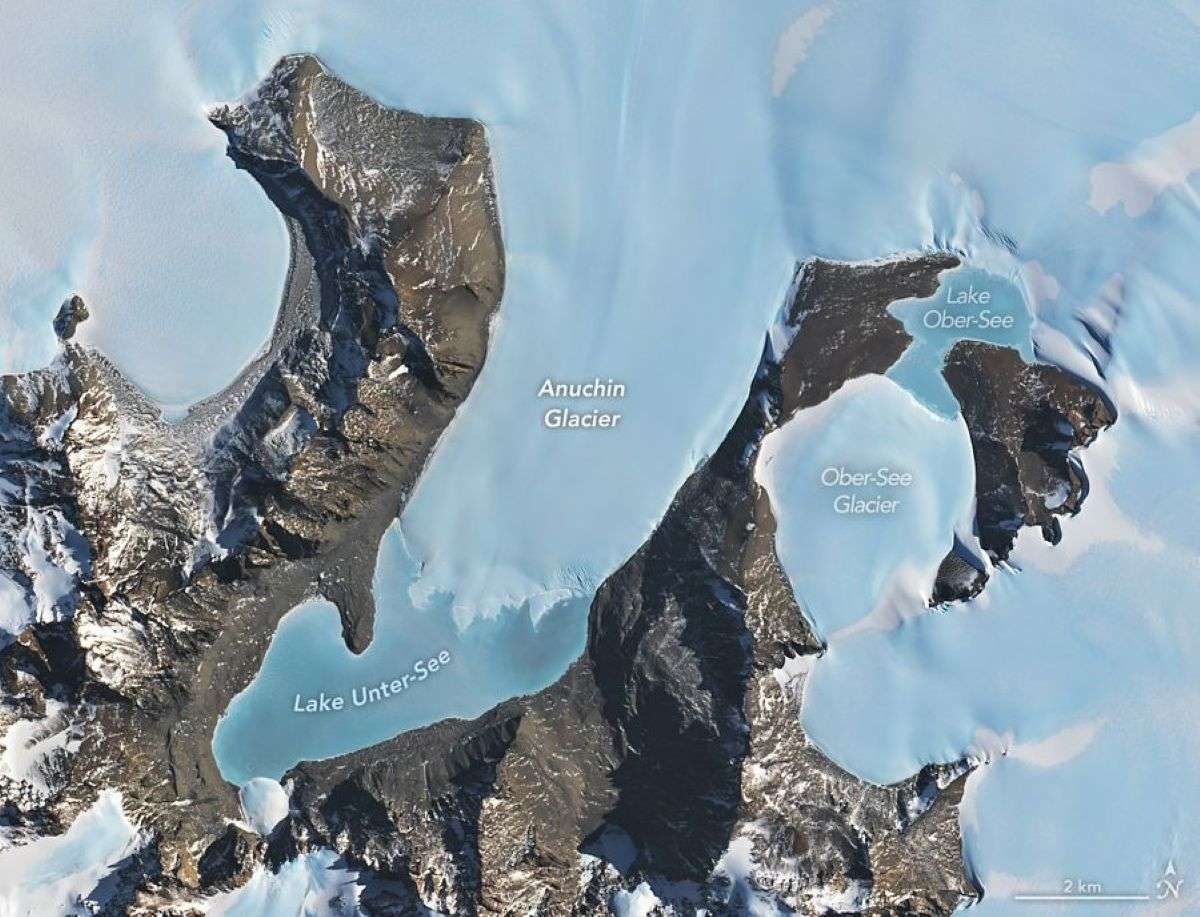
    Scientists estimate that Earth is home to more than 100 million lakes. Among the most unusual is Lake Unter-See, one of Antarctica’s largest and deepest surface lakes, known for its distinctive water chemistry. Its ice-covered waters have exceptionally high levels of dissolved oxygen, low dissolved carbon dioxide, and a strongly alkaline (basic) pH. The OLI (Operational Land Imager) on Landsat 9 captured this image on February…

    Read More »
  • NASA

    Landsat 9: More Than Just A Picture

    For over 50 years, the Landsat program has provided the longest continuous satellite record of Earth’s land surface from space. Landsat 9, launched in 2021, is the latest mission in this remarkable legacy — building on decades of Earth observation with upgraded technology, including enhanced radiometric resolution, improved signal-to-noise performance, and polar night thermal imaging. Working in tandem with Landsat…

    Read More »
  • NASA

    Dry-Season Floods Drench Northern Colombia

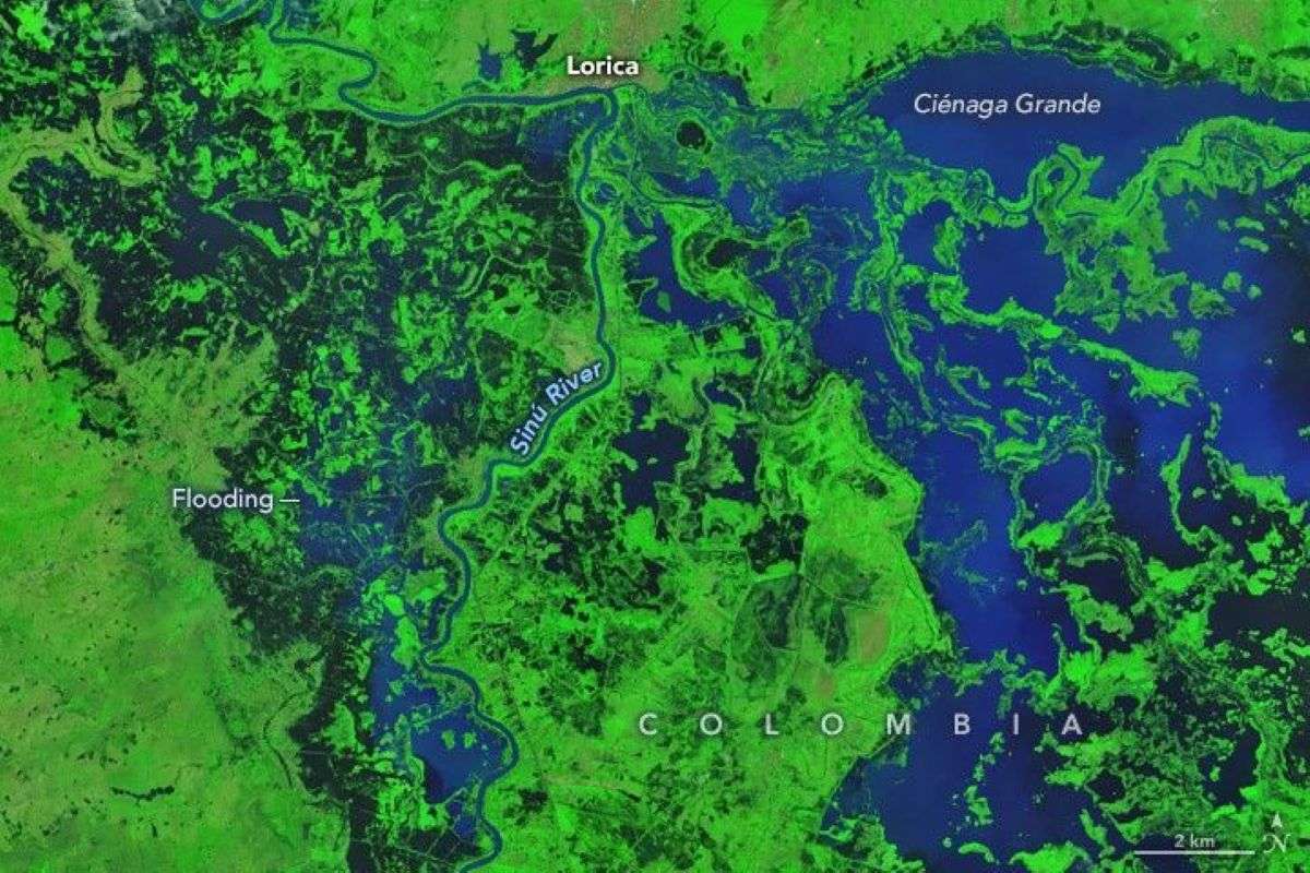
    February is one of the driest months of the year in northern Colombia’s Córdoba department, a major farming and cattle region. It’s the time of year when farmers normally prepare fields for planting and ranchers move livestock to graze in drying floodplains. In 2026, however, unusually heavy rains in early February upended seasonal rhythms and submerged much of the department…

    Read More »
  • NASA

    Landsat 9 Sees Buccaneer Archipelago

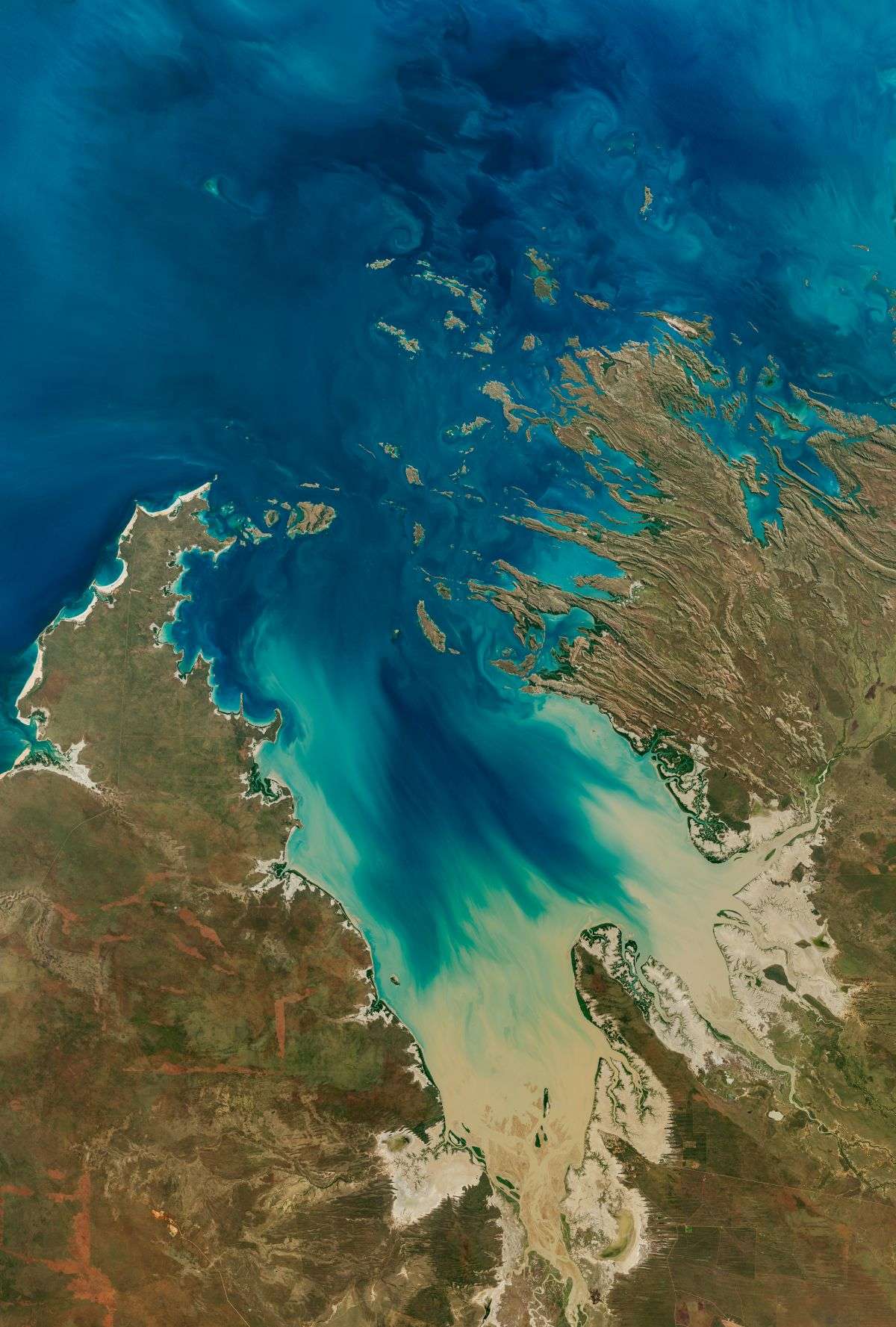
    The Operational Land Imager on Landsat 9 captured this image of Buccaneer Archipelago on June 11, 2025. The scene encapsulates the striking interactions between land and water in the area where King Sound opens to the Indian Ocean. The powerful tidal currents stir up sediment in shallow areas, producing the beautiful turquoise swirls visible in this image. This power, however, can be hazardous to seafarers…

    Read More »
Back to top button