Landsat

  • NASA

    Jim Irons, Former Landsat Project Scientist, Wins Pecora Award

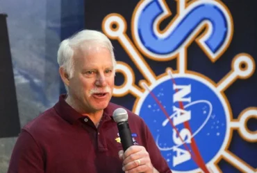
    Last month, Landsat’s very own Jim Irons won the prestigious William T. Pecora Award.  Irons, now an emeritus scientist at NASA Goddard Space Flight Center, played an integral role in shaping the Landsat program into what it is today. He served as deputy project scientist for Landsat 7 before taking over as project scientist for Landsat 8. From the earliest days…

    Read More »
  • NASA

    A Full Moon Checkup

    In April 2026, NASA’s Artemis program took humanity back to the Moon, providing a new look at Earth’s only natural satellite. As the world celebrates the return of Artemis II’s four astronauts, the lunar surface continues to play a critical role in missions much closer to Earth. Since 1972, the NASA/USGS Landsat program has captured the longest continuous record of Earth’s land surface, collecting…

    Read More »
  • NASA

    Nighttime Imaging Grows Landsat’s Science Value

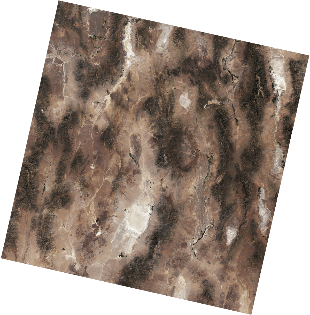
    By Earth Resources Observation and Science (EROS) Center  For more than 50 years, Landsat has imaged Earth’s land and near-shore surfaces as the satellites descend in midmorning orbit, when daily sunlight is optimal. That’s just what they’ve always done.  Currently, Landsat 8 and Landsat 9 circle the globe while also making better use of their ascending paths, peering into the darkness for…

    Read More »
  • NASA

    Landsat Reveals Reservoir Changes and Bathymetry

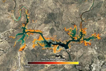
    Communities worldwide rely on reservoirs for drinking water, hydroelectric power, irrigation, and more. These critical freshwater resources are affected by seasonal and long-term changes; water levels in reservoirs can dip during hot summer months or due to prolonged drought, or can flood after a particularly strong storm. Despite their importance, there are key gaps in our knowledge of reservoir structure…

    Read More »
  • NASA

    Satellite Spots a Spawn

    Spawning season has sprung for Pacific herring (Clupea pallasii) in the waters off British Columbia, Canada. From mid-February through early May each year, thousands of the small, silvery fish congregate in shallow coastal areas around Vancouver Island and create a spectacle sometimes visible to satellites. Sheltered waters in Barkley Sound, on the southwestern side of Vancouver Island, are regular sites for spawn events. On…

    Read More »
  • NASA

    Lava Flows Down Mayon

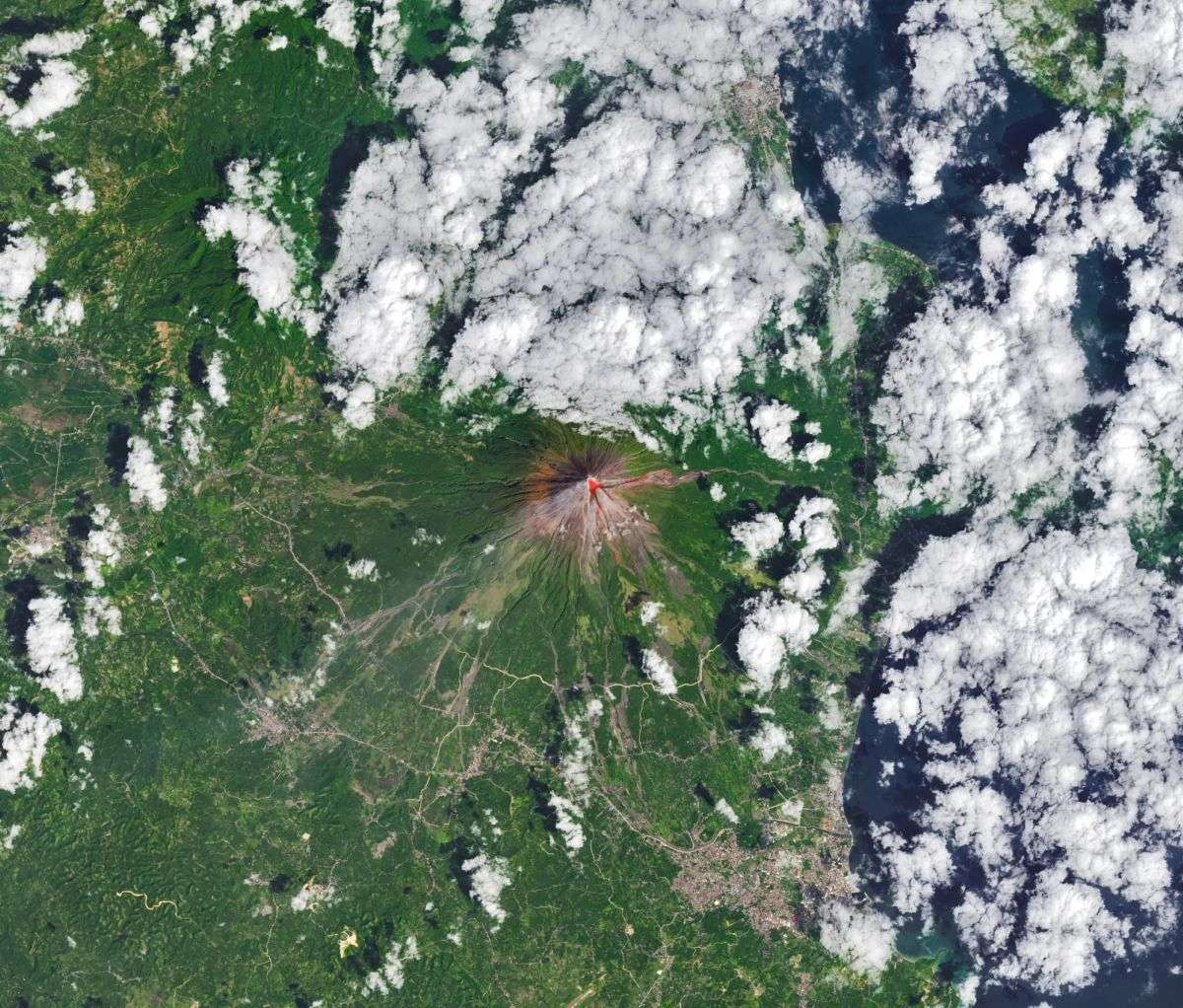
    The OLI (Operational Land Imager) on Landsat 8 acquired this rare, relatively clear image of  Mayon, the most active volcano in the Philippines, on Feb. 26, 2026. The natural-color scene is overlaid with infrared observations to highlight the lava’s heat signature. On that day, the Philippine Institute of Volcanology and Seismology (PHIVOLCS) reported volcanic earthquakes, rockfalls, and hot clouds of ash and debris called pyroclastic flows. Along…

    Read More »
  • NASA

    Landsat 9: More Than Just A Picture

    For over 50 years, the Landsat program has provided the longest continuous satellite record of Earth’s land surface from space. Landsat 9, launched in 2021, is the latest mission in this remarkable legacy — building on decades of Earth observation with upgraded technology, including enhanced radiometric resolution, improved signal-to-noise performance, and polar night thermal imaging. Working in tandem with Landsat…

    Read More »
  • NASA

    Tracking Glacial Change with Landsat and Radar

    For the first time, scientists have created a comprehensive global dataset revealing how the world’s glaciers speed up and slow down with the seasons. Published in Science in November 2025, this groundbreaking study analyzed over 36 million satellite image pairs—including decades of Landsat data—to track the seasonal “pulse” of every major glacier on Earth. The research, built off the ITS_LIVE ice velocity dataset from NASA’s Jet Propulsion Laboratory…

    Read More »
  • NASA

    New Landsat Science Team Announced

    By USGS Landsat Missions The U.S. Geological Survey, in cooperation with NASA, has named the new Landsat Science Team that will support the world’s longest-running Earth observation mission for a planned 2026-2030 term.  The team brings together experts from universities, private industry, and federal and international agencies to help the U.S. Geological Survey (USGS) and NASA ensure Landsat continues delivering trusted,…

    Read More »
  • NASA

    Maintaining the Gold Standard: The Future of Landsat Calibration and Validation

    By Amit Angal, Senior Engineer at Goddard Space Flight Center The Landsat Calibration and Validation (Cal/Val) group helps uphold Landsat’s reputation as the gold standard of satellite imagery. They ensure that the Operational Land Imager (OLI) and the Thermal Infrared Sensor (TIRS) aboard Landsats 8 and 9 provide high-quality scientific measurements to users around the world. In 2025, the Cal/Val group contributed over 60 pages to the…

    Read More »
Back to top button