Landsat

  • Press Releases

    GLOBE Expands with Landsat Land Cover Comparisons

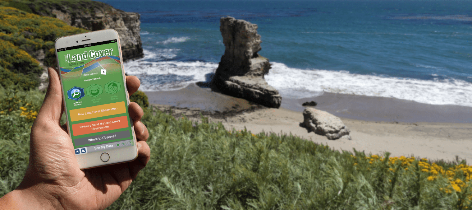
    The Global Learning and Observations to Benefit the Environment (GLOBE) Program has launched a new feature that connects citizen scientists directly to Landsat observations. Through GLOBE, volunteers around the world collect environmental data in support of Earth system science, including land observations. GLOBE land cover observations may include photos of the landscape and a classification of the land cover, providing…

    Read More »
  • NASA

    Harmonized Landsat and Sentinel-2: Collaboration Drives Innovation

    Introduction Landsat, a joint program of NASA and the U.S. Geological Survey (USGS), has been an invaluable tool for monitoring changes in Earth’s land surface for over 50 years. Researchers use instruments on Landsat satellites to monitor decades-long trends, including urbanization and agricultural expansion, as well as short-term dynamics, including water use and disaster recovery. However, scientists and land managers…

    Read More »
  • NASA

    Central Brazil Cerrado

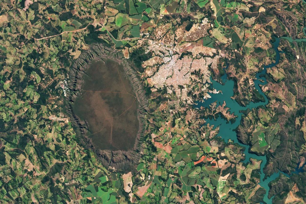
    On May 19, 2025, Landsat 9 captured this image of the Serra de Caldas in the state of Goiás, Brazil. The oval plateau is covered by a biologically rich savanna and grassland ecosystem called Cerrado. The Cerrado covers about one-fifth of Brazil’s land area and represents the second-largest biome in South America behind the Amazon. These lands are home to thousands of…

    Read More »
  • NASA

    A Particular Lenticular Cloud

    Landsat 8’s Operational Land Imager acquired this image of an elongated lenticular cloud, locally nicknamed the “Taieri Pet,” above New Zealand’s South Island on Sept. 7, 2024. Lenticular clouds form when prevailing winds encounter a topographic barrier, such as a mountain range. Wind that is forced to flow up and over the mountains creates a kind of wave in the atmosphere.…

    Read More »
  • NASA

    The View from Space Keeps Getting Better  

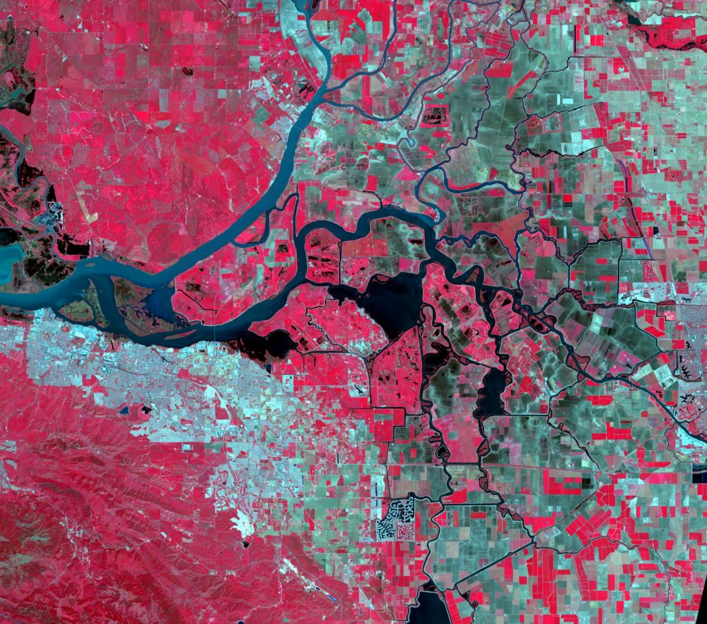
    After 50 years of Landsat, discovery of new commercial and scientific uses is only accelerating Farms in California’s Sacramento-San Joaquin River Delta face strict reporting requirements for water usage because the delta supplies most of the state’s freshwater. This Landsat image uses infrared wavelengths to depict vegetation. Credit: U.S. Geological Survey The 30-acre pear orchard in the Sacramento-San Joaquin River…

    Read More »
  • NASA

    NASA Selects Raytheon Company to Build Landsat Next Instruments

    NASA selects Raytheon Company to provide three instruments and related services, with an option for one additional instrument, in support of the Landsat Next mission based at NASA’s Goddard Space Flight Center in Greenbelt, Maryland. The contract includes a cost-plus-award-fee base period and a cost-plus-fixed-fee option period with a total value of $506.7 million. The contractor will provide the design,…

    Read More »
Back to top button