
Mississippi River Delta
-
NASA
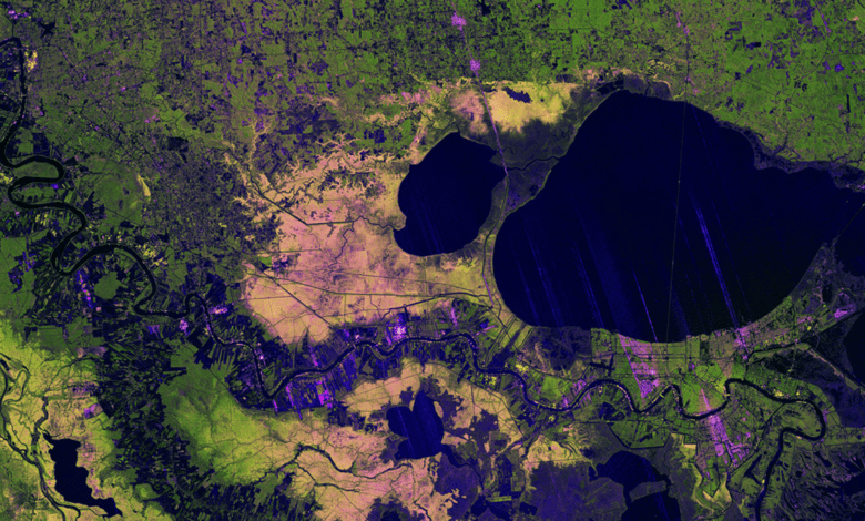
U.S.-India NISAR Satellite Images Mississippi River Delta Region
Description The NISAR (NASA-ISRO Synthetic Aperture Radar) Earth-observing satellite’s L-band synthetic aperture radar (SAR) instrument captured this image of the Mississippi River Delta region in southeastern Louisiana on Nov. 29, 2025. The colors in the image represent varying types of cover, which tend to reflect microwaves from the radar differently. Portions of New Orleans appear green, a sign that the…
Read More »