
Multispectral Scanner System
-
NASA
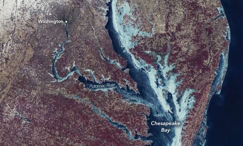
Chesapeake Bay Locked in Ice
Residents of the U.S. Mid-Atlantic endured a formidable winter in 2025-2026, marked by several high-impact storms and prolonged stretches of cold temperatures that left parts of the Chesapeake Bay frozen over. Longtime residents may recall a winter nearly 50 years ago when the region saw even more widespread ice cover. The MSS (Multispectral Scanner System) on Landsat 1 captured this image during the exceptionally…
Read More » -
NASA
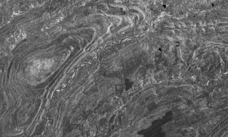
Peering Homeward, 1972
On July 23, 1972 the first civilian satellite designed to image Earth’s land surfaces was launched from Vandenberg Air Force Base in California. On board the satellite, originally named the Earth Resources Technology Satellite (ERTS), but later known as Landsat 1, were two sensors. The primary sensor, called the Return Beam Vidicon (RBV), used three shuttered cameras to take photographs;…
Read More »