
NASA Earth
-
NASA
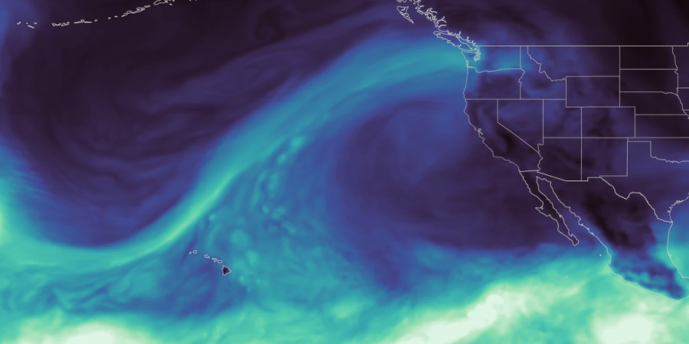
NASA Data Feeds River Forecasts as Snow Drought Effects Linger
As the effects of the 2026 snow drought in the western United States carry into summer, NASA Earth data is feeding machine-learning forecasts that inform decisions about water, power, and public safety in Washington state. Tacoma Power, a Washington public utility, is using a U.S. technology company’s river-flow forecasts during a year of water extremes on the Cowlitz River.…
Read More » -
NASA
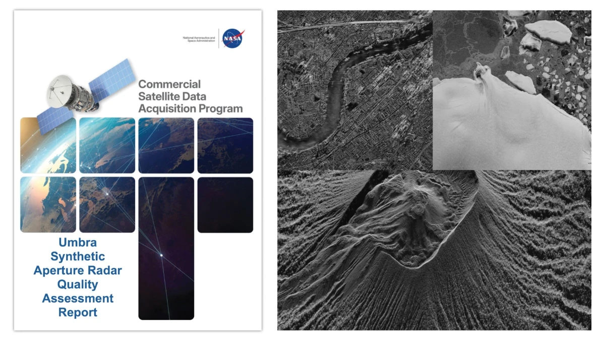
Principal Investigator and Quality Assessment Reports Evaluate Umbra Synthetic Aperture Radar Data
Two new reports from NASA’s Commercial Satellite Data Acquisition (CSDA) program evaluate data from the Umbra X-band Synthetic Aperture Radar (SAR) satellite constellation for the NASA Earth science research and applications community. The results of these evaluations help to inform NASA program management and the user community about the quality of these commercial data for use in NASA science. NASA’s…
Read More » -
NASA
NASA Invites You to “Picture Earth” for Earth Day
Our magnificent planet is always ready for its close-up. On Earth Day, April 22, NASA wants to see your take. NASA invites you to celebrate the planet we call home with our #PictureEarth social media event. Post a close-up photo on social media of your favorite natural features, such as crashing waves, ancient trees, blooming flowers, or stunning sunsets. Use…
Read More » -
NASA
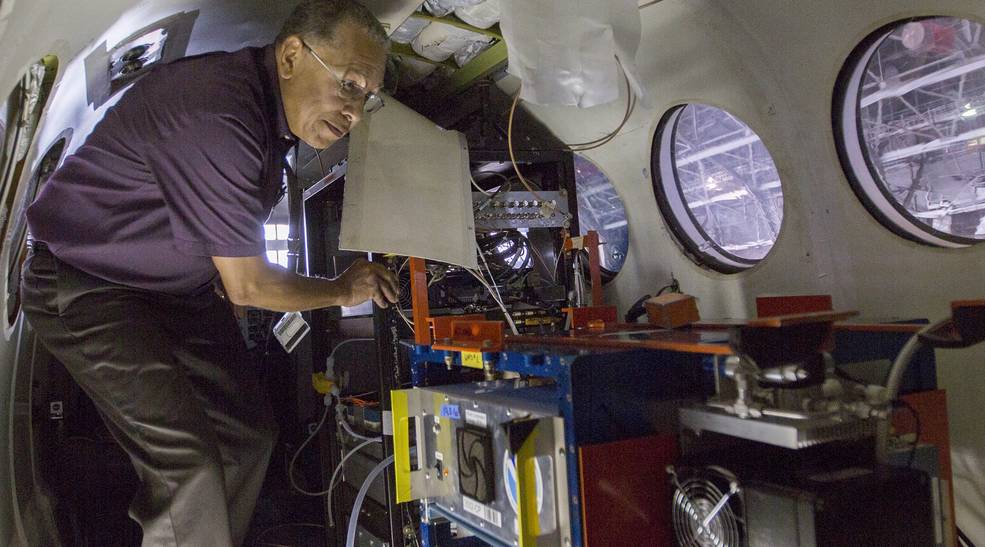
New Airborne Campaigns to Explore Snowstorms, River Deltas, Climate
Five new NASA Earth science campaigns will take to the field starting in 2020 to investigate a range of pressing research questions, from what drives intense East Coast snowfall events to the impact of small-scale ocean currents on global climate. These studies will explore important, but not-well-understood, aspects of Earth system processes and were competitively selected as part of NASA’s…
Read More »