NASA-ISRO
-
NASA
NISAR’s L-Band Radar Reveals ‘Hummingbird’ in Antarctica
Description Data from the Earth-orbiting U.S.-India NISAR (NASA-ISRO Synthetic Aperture Radar) satellite’s L-band radar was used to produce an image of Nunatak Zaterjavshijsja — a mountaintop in East Antarctica — poking out amid a stream of ice flowing northeast to the ocean. The obstruction causes stresses in the ice, heavily fracturing the surrounding surfaces with deep cracks, called crevasses, which…
Read More » -
NASA
Where Venezuela’s Earthquakes Shifted the Ground
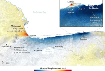
On June 24, 2026, a magnitude 7.2 earthquake struck northern Venezuela, followed under a minute later by a magnitude 7.5 mainshock. Together, the quakes left immense damage and loss of life across the region. In the days that followed, satellite-based maps of ground displacement revealed how the land surface moved, providing insight into the forces behind the severe destruction in locations…
Read More » -
NASA
NASA-ISRO Satellite Captures Pacific Northwest Through Clouds
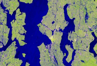
Seattle and Portland, Oregon, are among the cloudiest cities in the United States. But that infamous cloud cover is no match for the U.S.-Indian Earth satellite NISAR (NASA-ISRO Synthetic Aperture Radar), which is designed to peer straight through clouds. Doing so allows scientists to study the Pacific Northwest’s natural landmarks and bustling port cities like never before. Comparing the highly…
Read More » -
NASA
NASA-ISRO Satellite Lifts Off to Track Earth’s Changing Surfaces
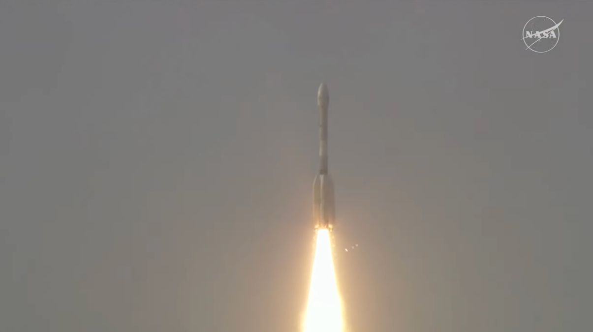
Editor’s Note: This release was edited on July 30, 2025, to correct the mission launch time in the IST time zone. Carrying an advanced radar system that will produce a dynamic, three-dimensional view of Earth in unprecedented detail, the NISAR (NASA-ISRO Synthetic Aperture Radar) satellite has launched from Satish Dhawan Space Centre in Sriharikota, Andhra Pradesh, India. Jointly developed by…
Read More » -
NASA
NASA-ISRO Mission Will Map Farmland From Planting to Harvest
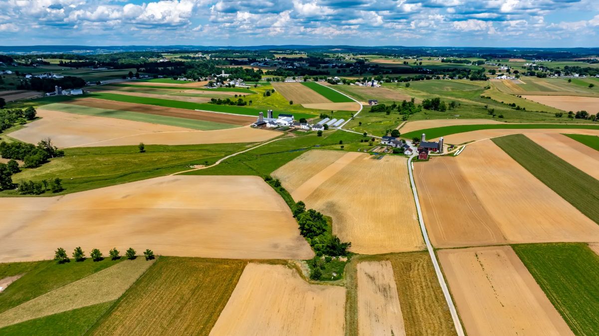
Data from the NISAR satellite will be used to map crop growth, track plant health, and monitor soil moisture — offering detailed, timely information for decision making. When it launches this year, the NISAR (NASA-ISRO Synthetic Aperture Radar) satellite will provide a powerful data stream that could help farmers in the U.S. and around the world. This new Earth mission…
Read More » -
NASA
NASA-ISRO Radar Mission to Provide Dynamic View of Forests, Wetlands

NISAR will help researchers explore how changes in Earth’s forest and wetland ecosystems are affecting the global carbon cycle and influencing climate change. Once it launches in early 2024, the NISAR radar satellite mission will offer detailed insights into two types of ecosystems – forests and wetlands – vital to naturally regulating the greenhouses gases in the atmosphere that are…
Read More »