
NASA Terra Satellite
-
Press Releases
March of the Harmattan
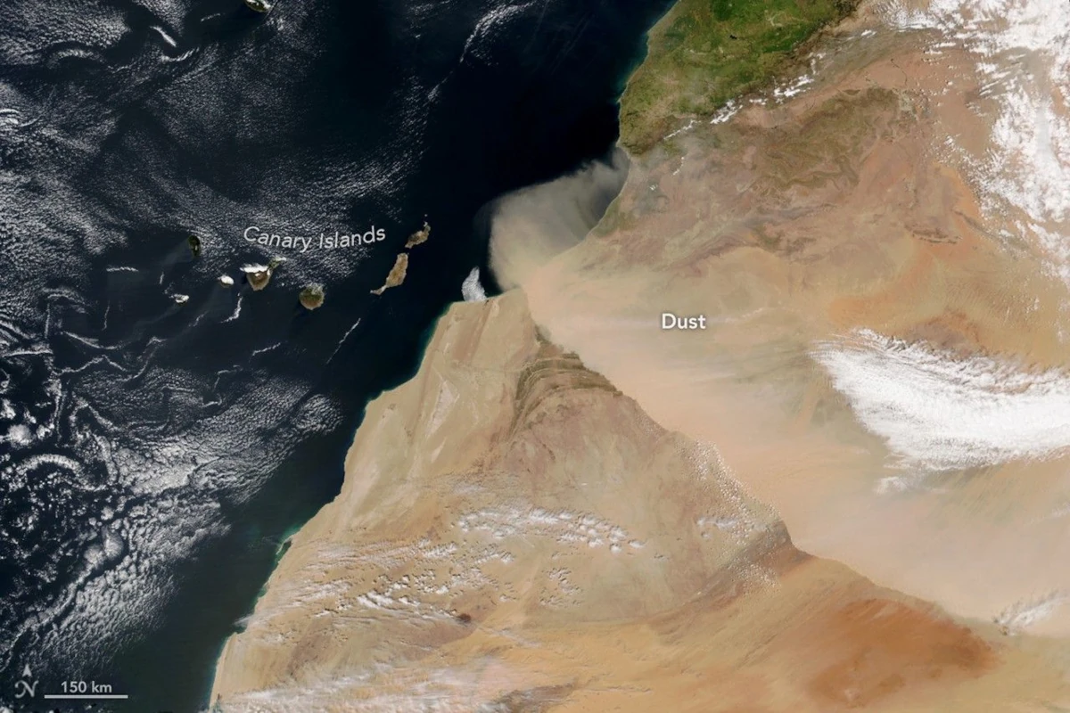
In early spring 2026, a dry, dust-laden wind known as the harmattan swept across northwestern Africa. Cold temperatures, high winds, and blowing dust prompted officials to issue an alert for several regions of Morocco due to the low visibility and harsh conditions. Satellites tracked the wall of dust over the course of the day on March 30 as it moved southwest from the Sahara…
Read More » -
NASA
Icelandic Cyclones
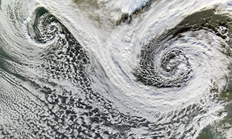
The Moderate Resolution Imaging Spectroradiometer flying aboard NASA’s Terra satellite took this picture of two cyclones near Iceland on Nov. 20, 2006. Though we usually think of cyclones occurring in the tropics, these spiraling storms can also form at mid- and high latitudes. Cyclones at these latitudes are actually fairly common, and they drive much of the Earth’s weather. Image credit: NASA/Jesse Allen
Read More » -
NASA
Sea Ice Swirls
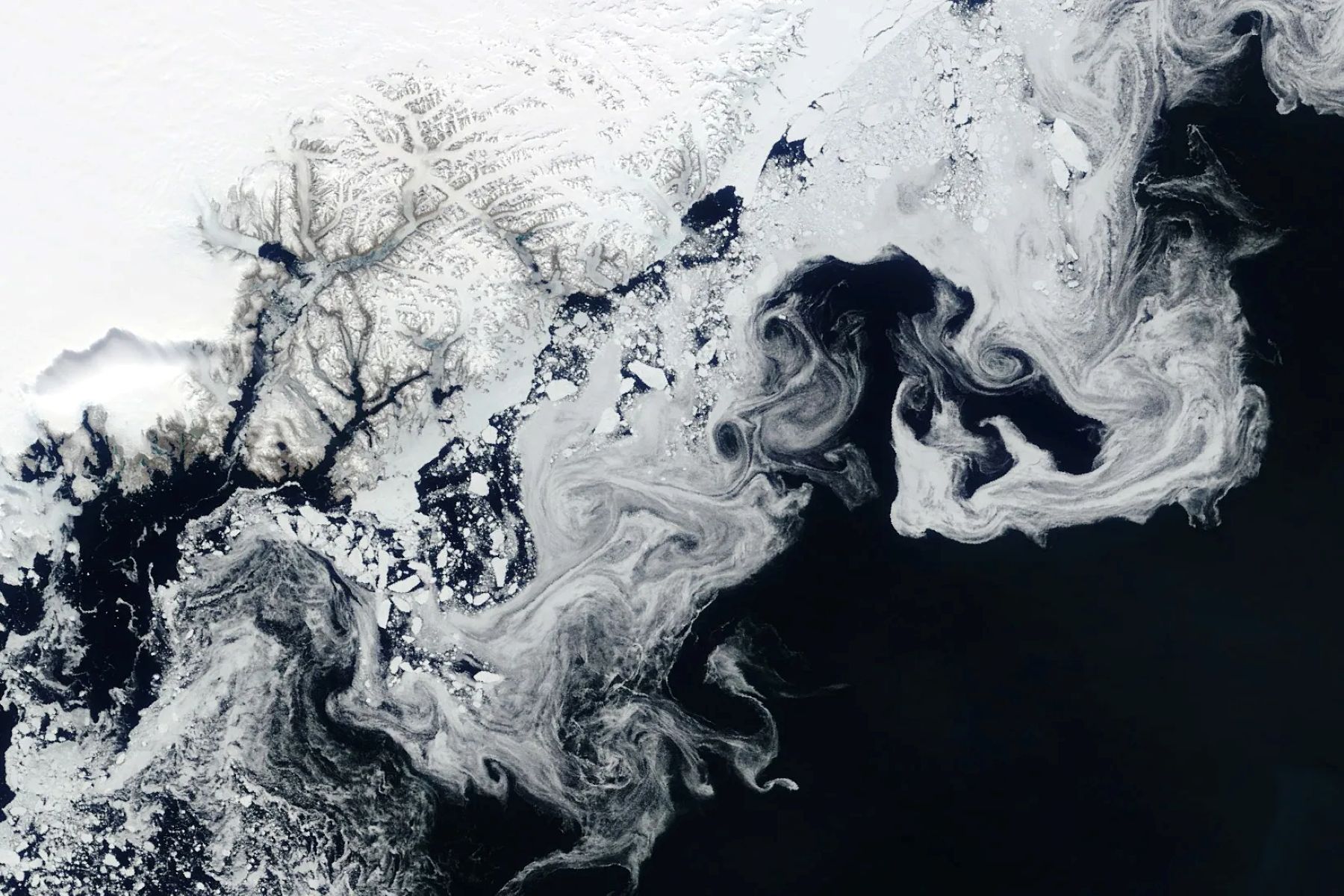
NASA’s Terra satellite captured floating fragments of sea ice as ocean currents carried them south along Greenland’s east coast on June 4, 2024. This ice traveled from the Fram Strait, a 450-kilometer (280-mile)-wide passage between Greenland and Svalbard, to the Arctic Ocean. Along the journey, it breaks into smaller pieces and starts to melt in warmer ocean waters, creating the wispy patterns seen…
Read More »