NISAR
-
NASA
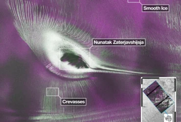
US-India Satellite Delivers Data, Reveals ‘Hummingbird’ in Antarctica
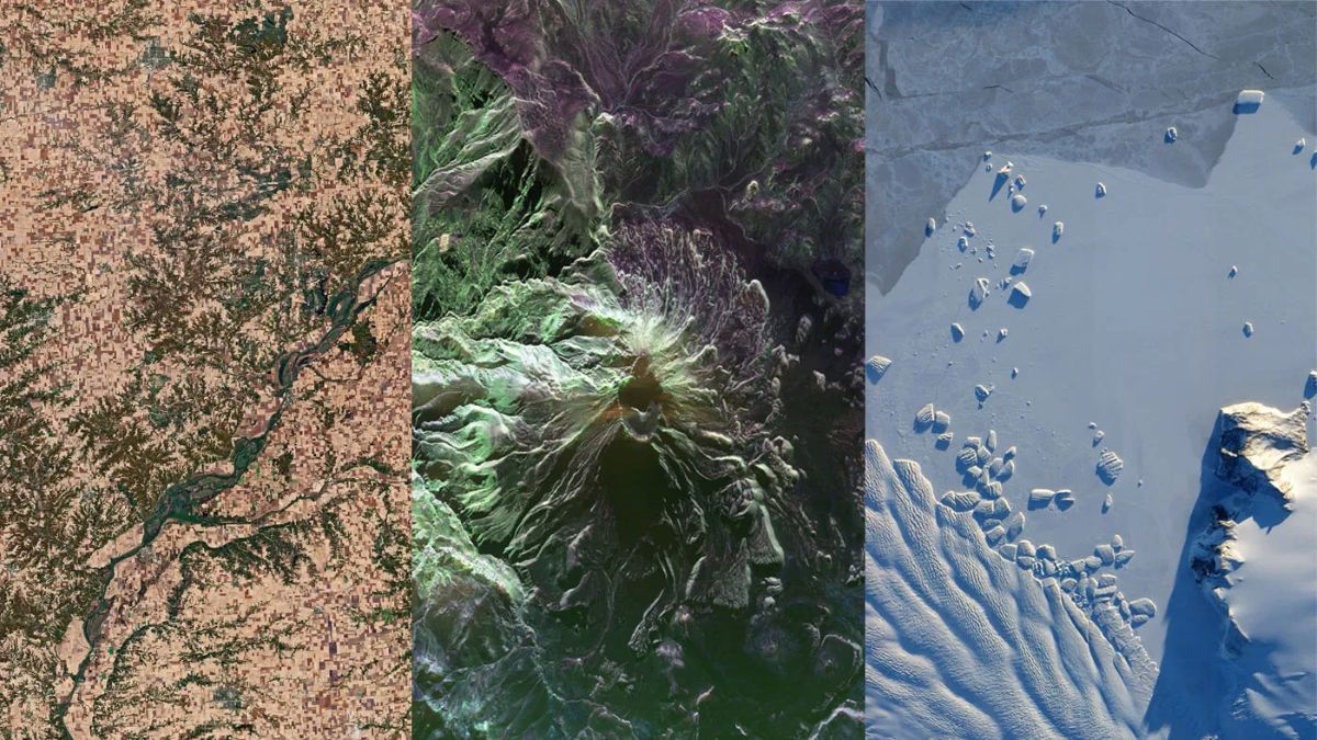
As of July 20, the public can access data from the two powerful radar instruments aboard the NISAR (NASA-ISRO Synthetic Aperture Radar) satellite. Teams in the United States and India will release files processed from the satellite’s L-band and S-band radars on an ongoing basis, helping researchers and other users track the movement of Earth’s land and ice masses, monitor…
Read More » -
NASA
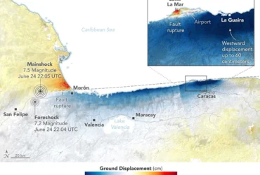
Where Venezuela’s Earthquakes Shifted the Ground
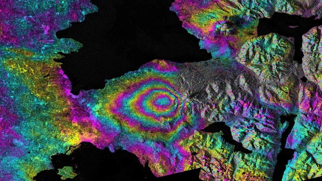
On June 24, 2026, a magnitude 7.2 earthquake struck northern Venezuela, followed under a minute later by a magnitude 7.5 mainshock. Together, the quakes left immense damage and loss of life across the region. In the days that followed, satellite-based maps of ground displacement revealed how the land surface moved, providing insight into the forces behind the severe destruction in locations…
Read More » -
NASA
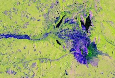
NISAR Views Mount St. Helens
Description This image captured by U.S.-Indian Earth satellite NISAR on Nov. 10, 2025, shows Washington’s Mount St. Helens. The image is cropped from a much larger swath spanning the Pacific Northwest on a cloudy day; NISAR’s L-band SAR instrument is able to peer through the clouds at the surface below. In Pacific Northwest imagery from the NASA-ISRO Synthetic Aperture Radar…
Read More » -
NASA
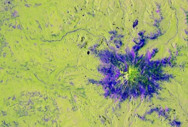
NISAR’s View of Mount Rainier
Description This image captured by U.S.-Indian Earth satellite NISAR on Nov. 10, 2025, shows Washington’s Mount Rainier. The image is cropped from a much larger swath spanning the Pacific Northwest on a cloudy day; NISAR’s L-band SAR instrument is able to peer through the clouds at the surface below. In Pacific Northwest imagery from the NASA-ISRO Synthetic Aperture Radar mission,…
Read More » -
NASA
Landslide and Avalanche Debris Litter Hubbard Glacier
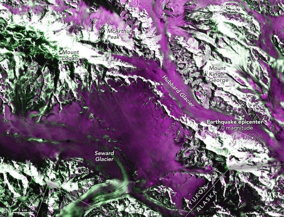
On December 6, 2025, a powerful magnitude 7.0 earthquake struck the remote St. Elias Mountains, a highly glaciated range that spans the Yukon-Alaska border. The quake shook the landscape beneath Hubbard Glacier, sending ice and rock careening down the range’s steep slopes. The NISAR (NASA-ISRO Synthetic Aperture Radar) satellite offered some of the earliest views of the changed landscape. Geophysicist Eric Fielding and colleagues…
Read More » -
Press Releases
NASA-ISRO Satellite Sends First Radar Images of Earth’s Surface
The NISAR (NASA-ISRO Synthetic Aperture Radar) Earth-observing radar satellite’s first images of our planet’s surface are in, and they offer a glimpse of things to come as the joint mission between NASA and ISRO (Indian Space Research Organisation) approaches full science operations later this year. “Launched under President Trump in conjunction with India, NISAR’s first images are a testament to…
Read More » -
NASA
NASA Sets Launch Coverage for Earth-Tracking NISAR Satellite
NASA will provide live coverage of launch activities for NISAR (NASA-ISRO Synthetic Aperture Radar), which is set to lift off at 8:10 a.m. EDT (5:40 p.m. IST), Wednesday, July 30, from Satish Dhawan Space Centre on India’s southeastern coast. A collaboration between NASA and the Indian Space Research Organisation (ISRO), the first-of-its-kind satellite will lift off aboard an ISRO Geosynchronous…
Read More » -
NASA
5 Things to Know About Powerful New U.S.-India Satellite, NISAR
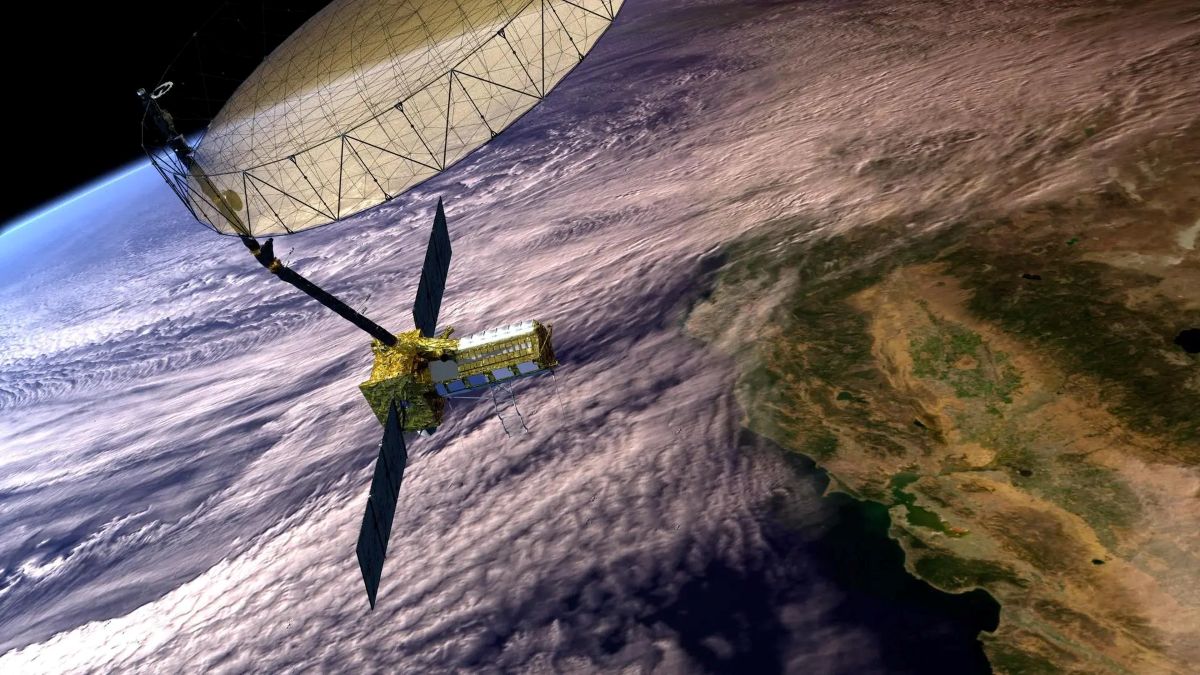
Lee esta historia en español aquí. Data from NISAR will map changes to Earth’s surface, helping improve crop management, natural hazard monitoring, and tracking of sea ice and glaciers. A new U.S.-India satellite called NISAR (NASA-ISRO Synthetic Aperture Radar) will provide high-resolution data enabling scientists to comprehensively monitor the planet’s land and ice surfaces like never before, building a detailed record…
Read More » -
NASA
NASA to Preview Advanced US-India Radar Mission Ahead of Launch
NASA will host a news conference at 12 p.m. EDT Monday, July 21, to discuss the upcoming NISAR (NASA-ISRO Synthetic Aperture Radar) mission. The Earth-observing satellite, a first-of-its-kind collaboration between NASA and ISRO (Indian Space Research Organisation), carries an advanced radar system that will help protect communities by providing a dynamic, three-dimensional view of Earth in unprecedented detail and detecting…
Read More » -
NASA
How New NASA, India Earth Satellite NISAR Will See Earth
Set to launch within a few months, NISAR will use a technique called synthetic aperture radar to produce incredibly detailed maps of surface change on our planet. When NASA and the Indian Space Research Organization’s (ISRO) new Earth satellite NISAR (NASA-ISRO Synthetic Aperture Radar) launches in coming months, it will capture images of Earth’s surface so detailed they will show…
Read More »