
OpenET
-
NASA

OpenET: Balancing Water Supply and Demand in the West
At the end of 2022, 65 percent of the Western United States was in severe drought, the result of a two decades long mega drought in the Colorado River Basin that had captured headlines around the world. However, it was flooding, not drought, that was making headlines when we began our research for this story about OpenET, a revolutionary new online…
Read More » -
NASA
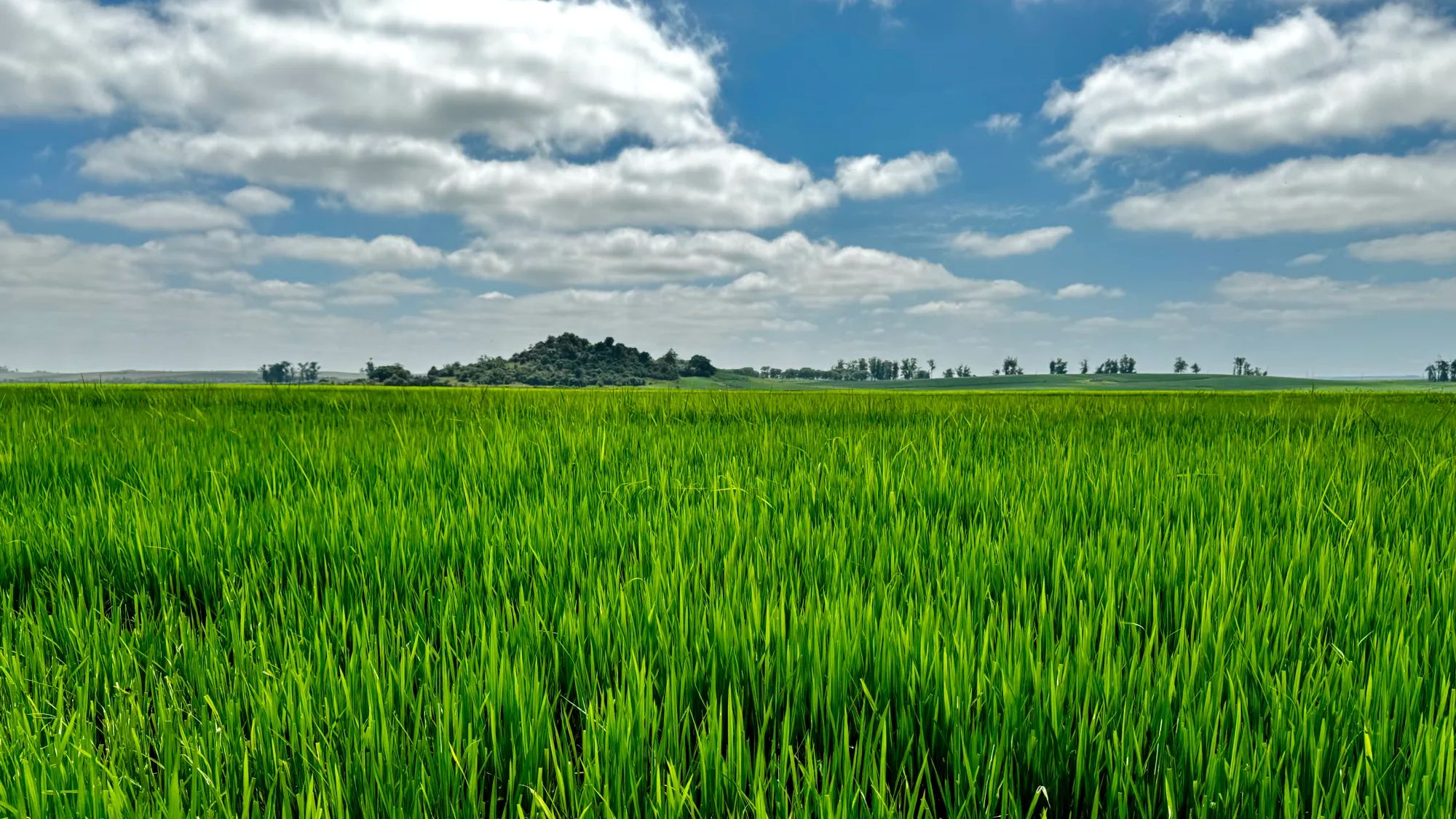
NASA Open Science Initiative Expands OpenET Across Amazon Basin
The research teams who help sustain the largest freshwater reserve in the world are developing a new tool to promote more resilient farming systems in Brazil. The goal is to help farmers better handle changes in the water cycle, deal with droughts, and adapt to a changing climate. The Large-Scale Hydrology Research Group hosted at the Federal University of Rio…
Read More » -
NASA
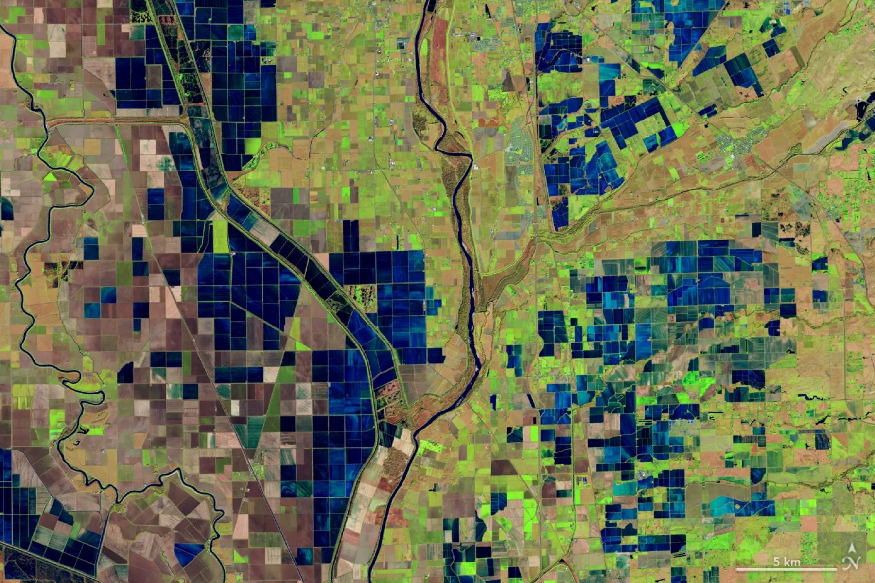
OpenET Study Helps Water Managers and Farmers Put NASA Data to Work
As the world looks for sustainable solutions, a system tapping into NASA satellite data for water management has passed a critical test. Called OpenET, the system uses an ensemble of six satellite-driven models that harness publicly available data from the Landsat program to calculate evapotranspiration (ET)—the movement of water vapor from soil and plant leaves into the atmosphere. OpenET does…
Read More » -
NASA
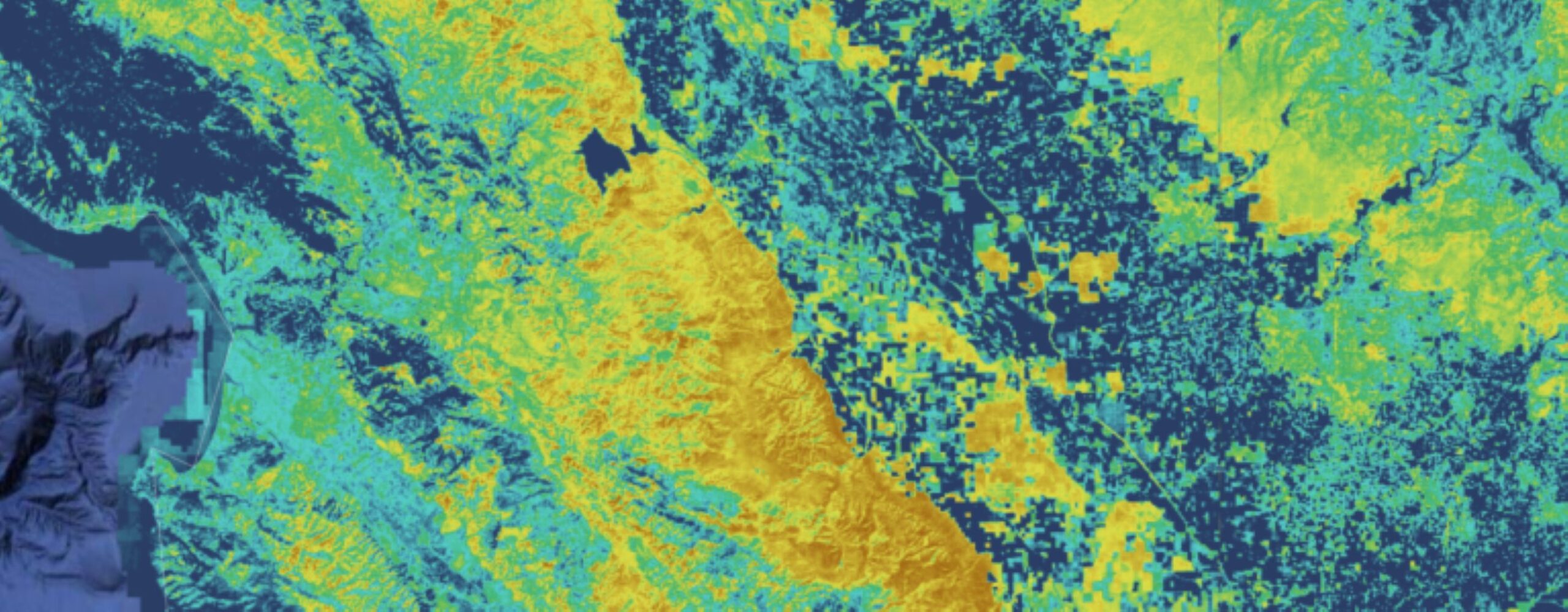
OpenET Launches a New API
On Tuesday, October 3, NASA Ames’ OpenET program launched an application programming interface (API) for its widely-used Data Explorer tool. OpenET is a program providing satellite-based information on evapotranspiration (ET) and agricultural water use, currently deployed across the 23 westernmost continental states. Data is provided at a scale of individual fields, or a quarter acre per pixel, and available at daily,…
Read More »