
Sea Ice
-
NASA

Arctic Winter Sea Ice Ties Record Low, NASA, NSIDC Scientists Find
For the second consecutive year, winter sea ice in the Arctic reached a level that matches the lowest peak observed since satellite monitoring began in 1979. On March 15, Arctic sea ice extent reached 5.52 million square miles (14.29 million square kilometers), very close to the 2025 peak of 5.53 million square miles (14.31 million square kilometers). Scientists with NASA…
Read More » -
NASA
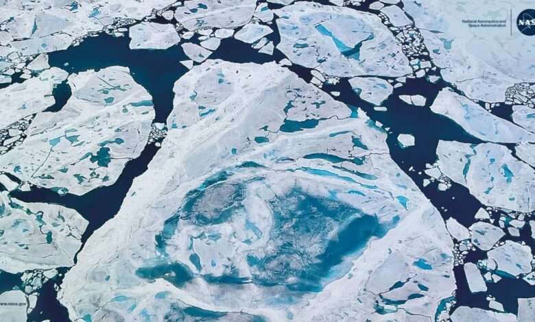
Thinning Arctic Sea Ice
Sea ice is frozen seawater that floats in the ocean. This photo, taken from NASA’s Gulfstream V Research Aircraft on July 21, 2022, shows Arctic sea ice in the Lincoln Sea north of Greenland. This image is the NASA Science Image of the Month for September 2025. Each month, NASA’s Science Mission Directorate chooses an image to feature, offering desktop wallpaper downloads,…
Read More » -
NASA

NASA, NSIDC Scientists Say Arctic Winter Sea Ice at Record Low
Ice cover ebbs and flows through the seasons in the Arctic (left) and the Antarctic (right). Overall, ice cover has declined since scientists started tracking it half a century ago. Download this visualization from NASA’s Scientific Visualization Studio: https://svs.gsfc.nasa.gov/5099 Trent Schindler/NASA’s Scientific Visualization Studio Winter sea ice cover in the Arctic was the lowest it’s ever been at its annual…
Read More » -
NASA

Childhood Snow Days Transformed Linette Boisvert into a Sea Ice Scientist
Linette Boisvert turned a childhood love of snow into a career as a sea ice scientist studying climate change. Name: Linette BoisvertTitle: Assistant Lab Chief, Cryospheric Sciences Branch, and Deputy Project Scientist for the Aqua SatelliteFormal Job Classification: Sea Ice ScientistOrganization: Cryospheric Science Branch, Science Directorate (Code 615) “When it snowed, school was cancelled so I loved winter weather, and I was…
Read More » -
NASA
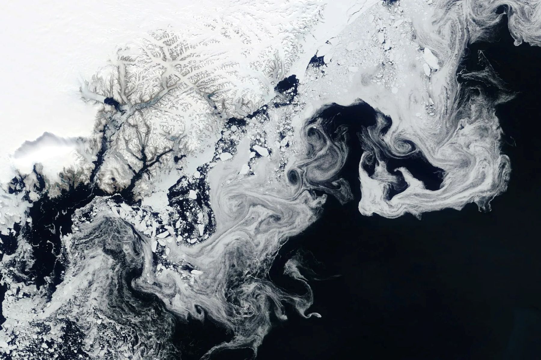
Sea Ice Swirls
NASA’s Terra satellite captured floating fragments of sea ice as ocean currents carried them south along Greenland’s east coast on June 4, 2024. This ice traveled from the Fram Strait, a 450-kilometer (280-mile)-wide passage between Greenland and Svalbard, to the Arctic Ocean. Along the journey, it breaks into smaller pieces and starts to melt in warmer ocean waters, creating the wispy patterns seen…
Read More »