
soil
-
NASA

From Space to Soil: How NASA Sees Forests
NASA uses satellite lidar technology to study Earth’s forests, key carbon sinks. The GEDI mission maps forest height and biomass from the International Space Station, while ICESat-2 fills polar data gaps. Together, they enable a first-of-its-kind global biomass map, guiding smarter forest conservation and carbon tracking. Original Video and Assets
Read More » -
Press Releases
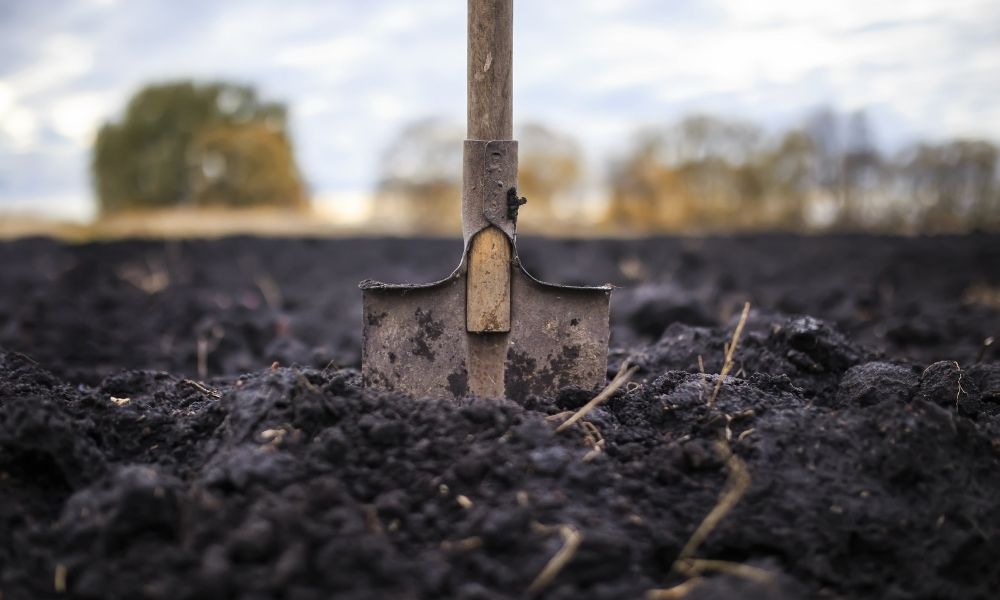
Different Factors That Impact Soil Resistivity
Soil resistivity measures how well soil resists or conducts electric currents. When creating a grounding design for an infrastructure, you’ll quickly learn how greatly soil resistivity impacts the integrity of grounding design. Soil resistivity’s relationship to corrosion, and not to mention electric faults and lightning, is all that the incentive companies should need to test a prospective construction site’s soil.…
Read More »