
Surface Water and Ocean Topography
-
NASA
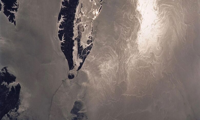
NASA, French SWOT Satellite Offers Big View of Small Ocean Features
The international mission collects two-dimensional views of smaller waves and currents that are bringing into focus the ocean’s role in supporting life on Earth. Small things matter, at least when it comes to ocean features like waves and eddies. A recent NASA-led analysis using data from the SWOT (Surface Water and Ocean Topography) satellite found that ocean features as small…
Read More » -
NASA

Next-Generation Water Satellite Maps Seafloor From Space
More accurate maps based on data from the SWOT mission can improve underwater navigation and result in greater knowledge of how heat and life move around the world’s ocean. There are better maps of the Moon’s surface than of the bottom of Earth’s ocean. Researchers have been working for decades to change that. As part of the ongoing effort, a…
Read More » -
NASA
NASA’s PACE, US-European SWOT Satellites Offer Combined Look at Ocean
One Earth satellite can see plankton that photosynthesize. The other measures water surface height. Together, their data reveals how sea life and the ocean are intertwined. The ocean is an engine that drives Earth’s weather patterns and climate and sustains a substantial portion of life on the planet. A new animation based on data from two recently launched missions —…
Read More » -
NASA

International SWOT Satellite Spots Planet-Rumbling Greenland Tsunami
Data from space shows water tilting up toward the north side of the Dickson Fjord as it sloshed from south to north and back every 90 seconds for nine days after a 2023 rockslide. The international Surface Water and Ocean Topography (SWOT) satellite mission, a collaboration between NASA and France’s CNES (Centre National d’Études Spatiales), detected the unique contours of…
Read More »