
SWOT Mission
-
NASA
SWOT Mission Unlocks a New View of Our Waterways
Explore how rivers move, change, and sustain life across the planet. Using data from the SWOT (Surface Water and Ocean Topography) mission, jointly developed by the NASA/JPL and the Centre National d’Études Spatiales with contributions from the Canadian Space Agency and the United Kingdom Space Agency, scientists can now measure rivers continuously and across the entire globe for the first…
Read More » -
NASA

Next-Generation Water Satellite Maps Seafloor From Space
More accurate maps based on data from the SWOT mission can improve underwater navigation and result in greater knowledge of how heat and life move around the world’s ocean. There are better maps of the Moon’s surface than of the bottom of Earth’s ocean. Researchers have been working for decades to change that. As part of the ongoing effort, a…
Read More » -
NASA
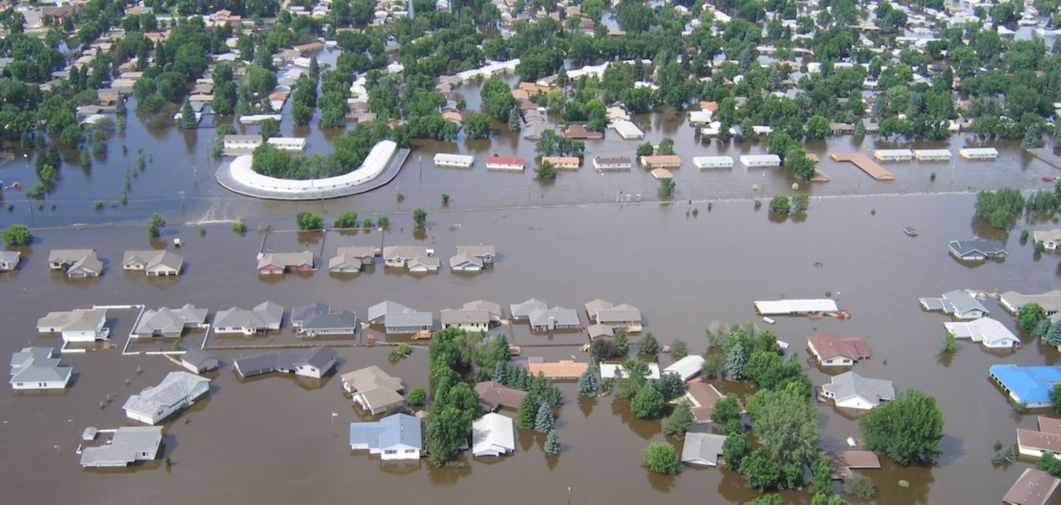
International SWOT Mission Can Improve Flood Prediction
A partnership between NASA and the French space agency, the satellite is poised to help improve forecasts of where and when flooding will occur in Earth’s rivers, lakes, and reservoirs. Rivers, lakes, and reservoirs are like our planet’s arteries, carrying life-sustaining water in interconnected networks. When Earth’s water cycle runs too fast, flooding can result, threatening lives and property. That…
Read More » -
NASA

Google’s ‘A Passage of Water’ Brings NASA’s Water Data to Life
As part of the long-standing partnership between NASA and Google, NASA worked with Google Arts & Culture and artist Yiyun Kang to create an interactive digital experience around global freshwater resources titled “A Passage of Water.” This immersive experience leverages data from the Gravity Recovery and Climate Experiment (GRACE) satellites and new high-resolution data from the Surface Water and Ocean Topography (SWOT)…
Read More » -
NASA
See SWOT Mission’s Unprecedented View of Global Sea Levels
This animation shows global sea level data collected by the Surface Water and Ocean Topography satellite from July 26 to Aug. 16. Red and orange indicate higher-than-average ocean heights, while blue represents lower-than-average heights. Image Credit: NASA/JPL-Caltech Data on sea surface heights around the world from the international Surface Water and Ocean Topography mission yields a mesmerizing view of the…
Read More »