
SWOT Satellite
-
NASA
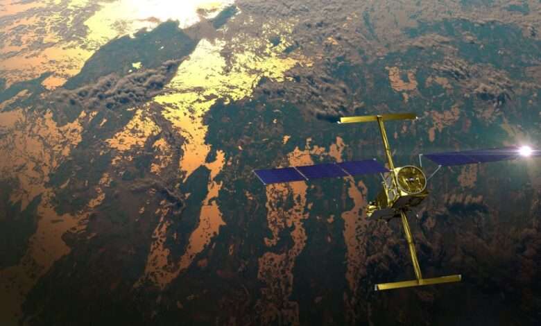
US-French Satellite Takes Stock of World’s River Water
In a first, a space mission led by NASA and France has tracked Earth’s rivers swelling and shrinking from month to month over the course of a year and found significantly less of a swing than previous model-based estimates. A record drought in the Amazon likely influenced the tally made by the Surface Water and Ocean Topography (SWOT) satellite. The…
Read More » -
NASA
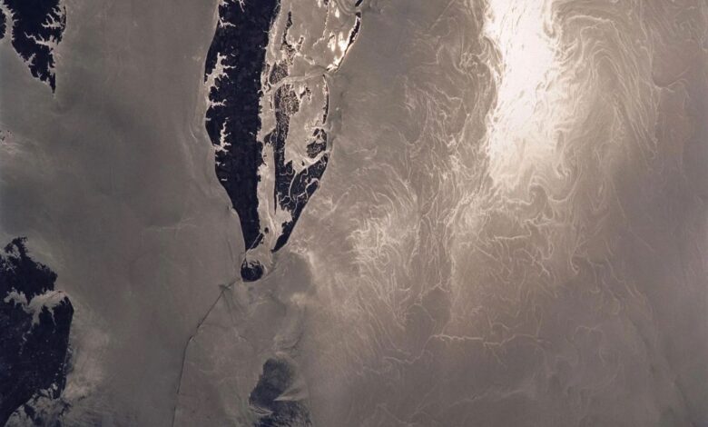
NASA, French SWOT Satellite Offers Big View of Small Ocean Features
The international mission collects two-dimensional views of smaller waves and currents that are bringing into focus the ocean’s role in supporting life on Earth. Small things matter, at least when it comes to ocean features like waves and eddies. A recent NASA-led analysis using data from the SWOT (Surface Water and Ocean Topography) satellite found that ocean features as small…
Read More » -
NASA
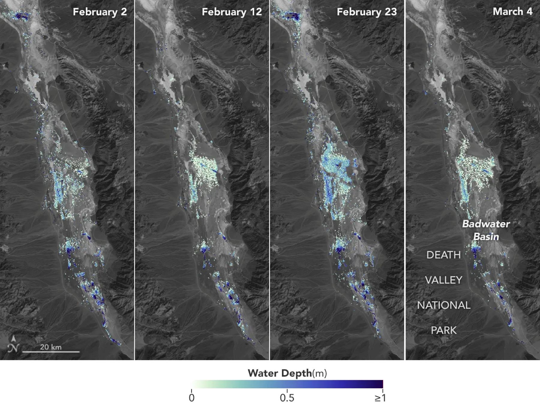
SWOT Satellite Helps Gauge the Depth of Death Valley’s Temporary Lake
Data from the international Surface Water and Ocean Topography mission helped researchers to calculate the depth of water in this transient freshwater body. California’s Death Valley, the driest place in North America, has hosted an ephemeral lake since late 2023. A NASA-led analysis recently calculated water depths in the temporary lake over several weeks in February and March 2024, demonstrating…
Read More » -
NASA
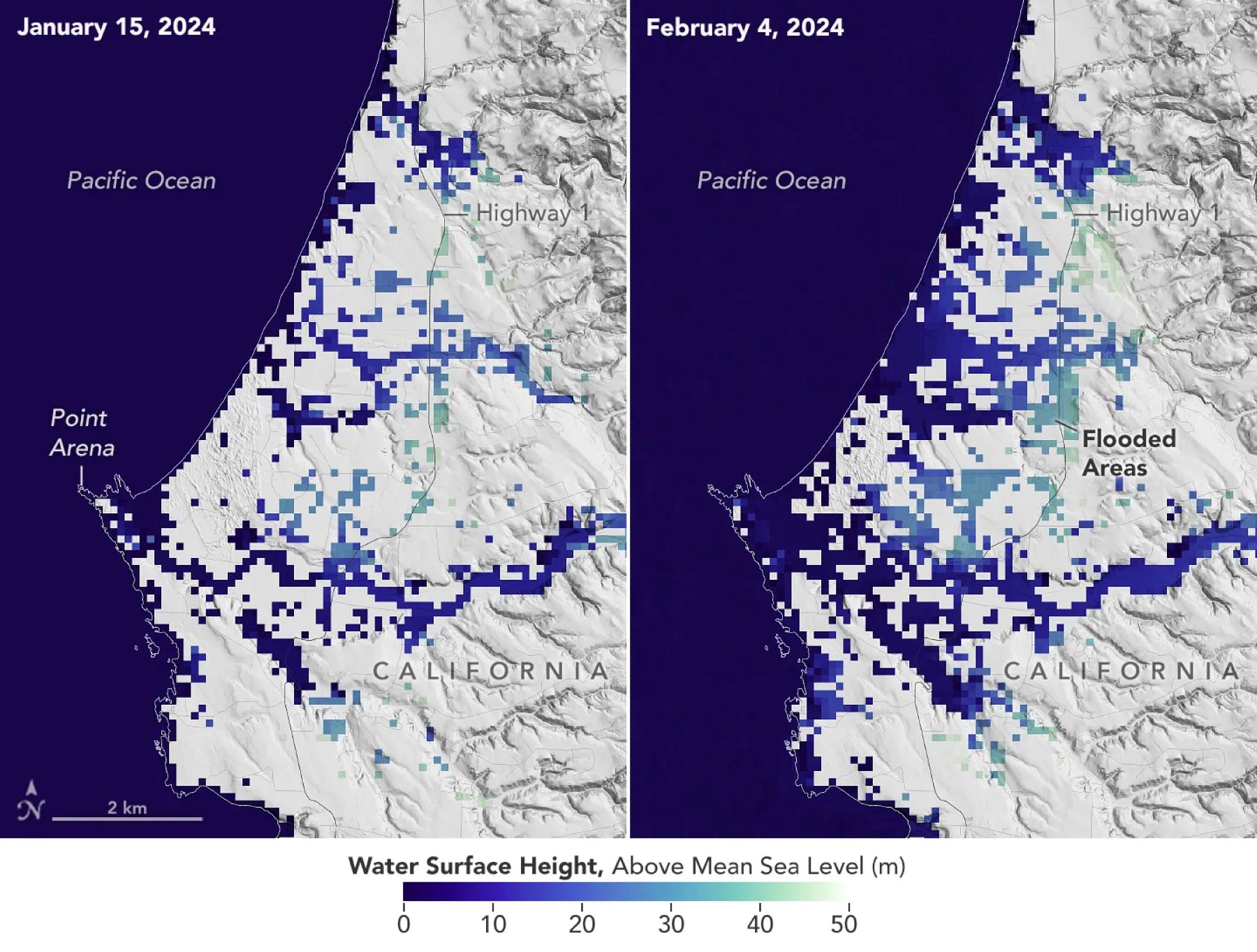
SWOT Satellite Catches Coastal Flooding During California Storms
Operated by NASA and the French space agency, the Surface Water and Ocean Topography mission provides a new view of water on land, at the coast, and in the ocean. A series of atmospheric rivers drenched California in February, with record amounts of rainfall and hurricane-force winds sweeping across parts of the state. At one point, weather agencies posted flood…
Read More »