
SWOT
-
NASA
SWOT Mission Unlocks a New View of Our Waterways
Explore how rivers move, change, and sustain life across the planet. Using data from the SWOT (Surface Water and Ocean Topography) mission, jointly developed by the NASA/JPL and the Centre National d’Études Spatiales with contributions from the Canadian Space Agency and the United Kingdom Space Agency, scientists can now measure rivers continuously and across the entire globe for the first…
Read More » -
NASA
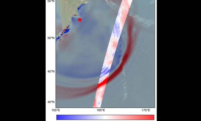
US-French SWOT Satellite Measures Tsunami After Massive Quake
Data provided by the water satellite, a joint effort between NASA and the French space agency, is helping to improve tsunami forecast models, benefitting coastal communities. The SWOT (Surface Water and Ocean Topography) satellite captured the tsunami spawned by an 8.8 magnitude earthquake off the coast of Russia’s Kamchatka Peninsula on July 30, 11:25 a.m. local time. The satellite, a…
Read More » -
NASA
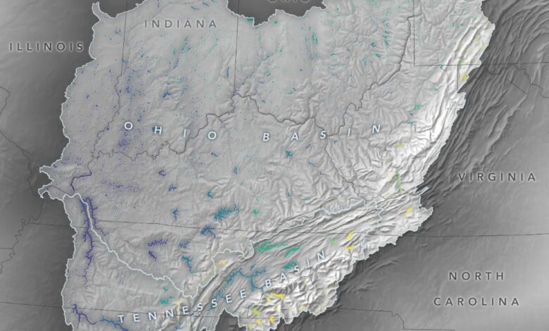
Cutting-Edge Satellite Tracks Lake Water Levels in Ohio River Basin
Data from the U.S.-European Surface Water and Ocean Topography mission gives researchers a detailed look at lakes and reservoirs in a U.S. watershed. The Ohio River Basin stretches from Pennsylvania to Illinois and contains a system of reservoirs, lakes, and rivers that drains an area almost as large as France. Researchers with the SWOT (Surface Water and Ocean Topography) mission,…
Read More » -
NASA

International SWOT Satellite Spots Planet-Rumbling Greenland Tsunami
Data from space shows water tilting up toward the north side of the Dickson Fjord as it sloshed from south to north and back every 90 seconds for nine days after a 2023 rockslide. The international Surface Water and Ocean Topography (SWOT) satellite mission, a collaboration between NASA and France’s CNES (Centre National d’Études Spatiales), detected the unique contours of…
Read More » -
NASA
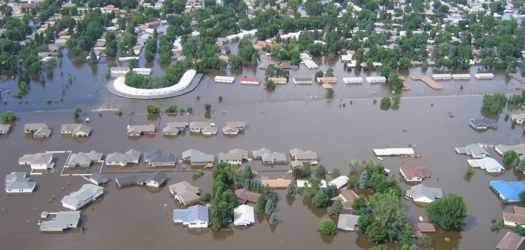
International SWOT Mission Can Improve Flood Prediction
A partnership between NASA and the French space agency, the satellite is poised to help improve forecasts of where and when flooding will occur in Earth’s rivers, lakes, and reservoirs. Rivers, lakes, and reservoirs are like our planet’s arteries, carrying life-sustaining water in interconnected networks. When Earth’s water cycle runs too fast, flooding can result, threatening lives and property. That…
Read More » -
NASA
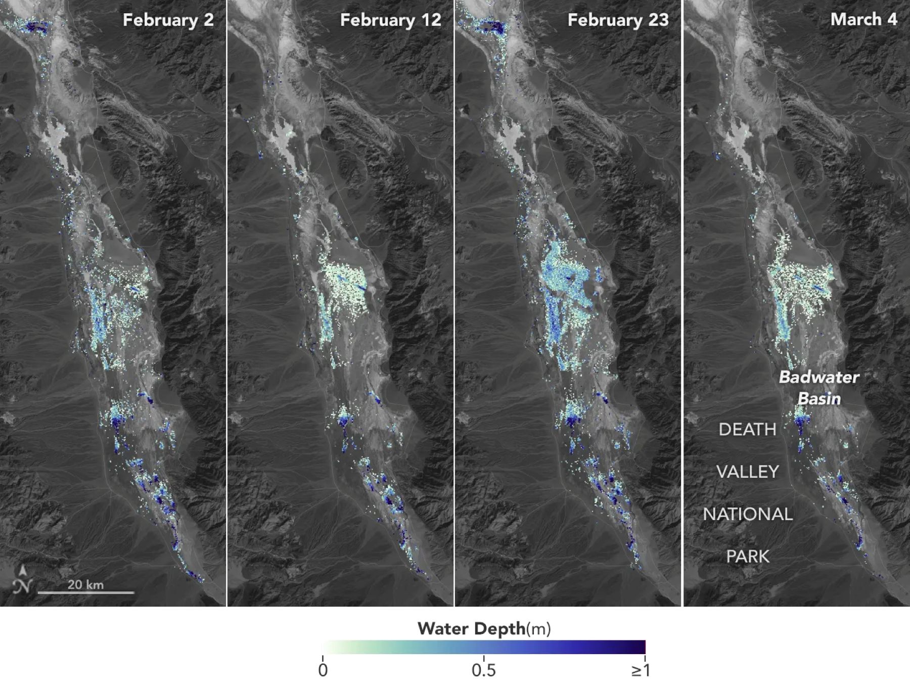
SWOT Satellite Helps Gauge the Depth of Death Valley’s Temporary Lake
Data from the international Surface Water and Ocean Topography mission helped researchers to calculate the depth of water in this transient freshwater body. California’s Death Valley, the driest place in North America, has hosted an ephemeral lake since late 2023. A NASA-led analysis recently calculated water depths in the temporary lake over several weeks in February and March 2024, demonstrating…
Read More » -
NASA
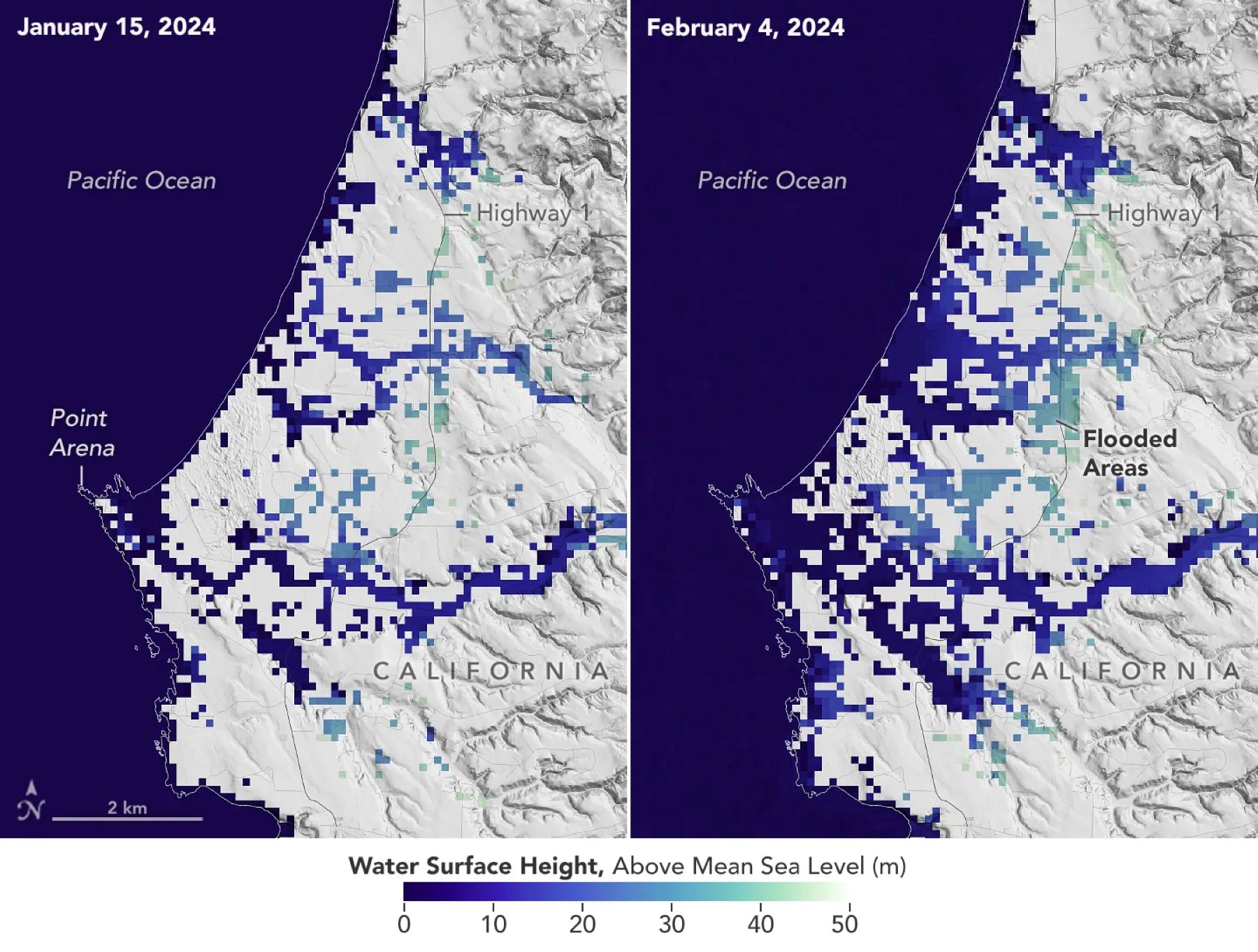
SWOT Satellite Catches Coastal Flooding During California Storms
Operated by NASA and the French space agency, the Surface Water and Ocean Topography mission provides a new view of water on land, at the coast, and in the ocean. A series of atmospheric rivers drenched California in February, with record amounts of rainfall and hurricane-force winds sweeping across parts of the state. At one point, weather agencies posted flood…
Read More » -
NASA
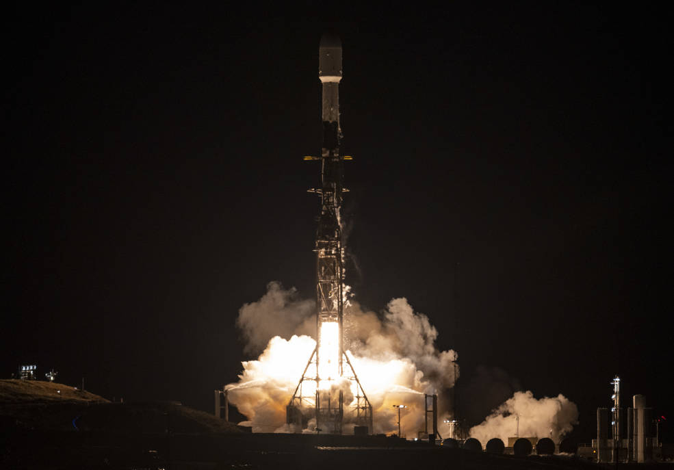
NASA Launches International Mission to Survey Earth’s Water
A satellite built for NASA and the French space agency Centre National d’Études Spatiales (CNES) to observe nearly all the water on our planet’s surface lifted off on its way to low-Earth orbit at 3:46 a.m. PST on Friday. The Surface Water and Ocean Topography (SWOT) spacecraft also has contributions from the Canadian Space Agency (CSA) and the UK Space…
Read More »