
Synthetic Aperture Radar
-
NASA

NISAR’s L-Band Radar Reveals ‘Hummingbird’ in Antarctica
Description Data from the Earth-orbiting U.S.-India NISAR (NASA-ISRO Synthetic Aperture Radar) satellite’s L-band radar was used to produce an image of Nunatak Zaterjavshijsja — a mountaintop in East Antarctica — poking out amid a stream of ice flowing northeast to the ocean. The obstruction causes stresses in the ice, heavily fracturing the surrounding surfaces with deep cracks, called crevasses, which…
Read More » -
Press Releases
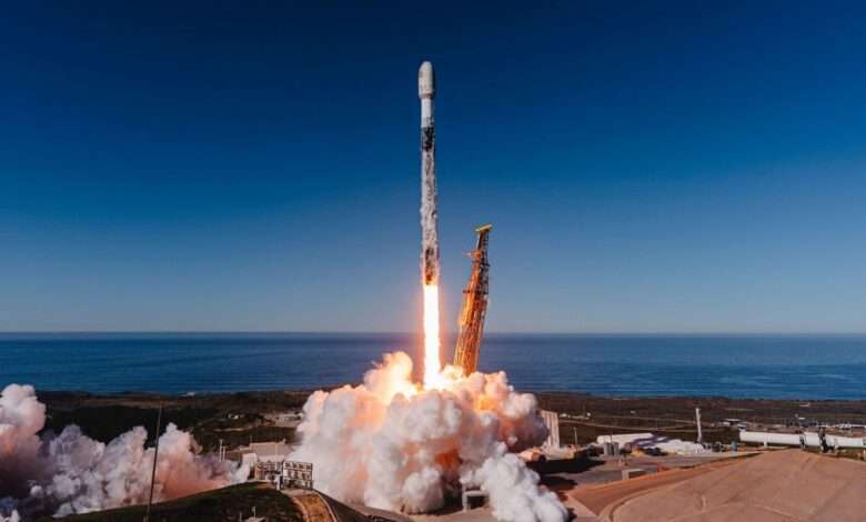
ICEYE launches five new satellites, supporting additional customer missions
ICEYE, the global leader in Synthetic Aperture Radar (SAR) satellite operations, has successfully launched and deployed five new SAR satellites into orbit. The satellites were integrated via Exolaunch and successfully lifted off on November 28, 2025, aboard the Transporter-15 rideshare mission with SpaceX from Vandenberg Space Force Base, California, USA. Each spacecraft has established communication, and routine commissioning operations are…
Read More » -
Press Releases

ICEYE expands its SAR imaging capabilities with the launch of Scan Wide mode
ICEYE, the global leader in Synthetic Aperture Radar (SAR) satellite operations, announces the launch of its newest imaging mode, Scan Wide. This latest addition to ICEYE’s suite of SAR (Synthetic Aperture Radar) imaging products offers customers the largest scene size available in its portfolio to date: with Scan Wide, customers can now image an area of 60,000 km² with a…
Read More » -
NASA
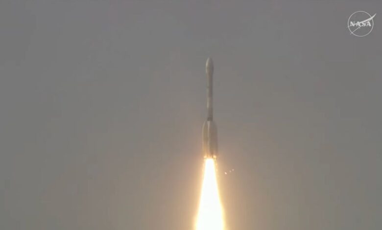
NASA-ISRO Satellite Lifts Off to Track Earth’s Changing Surfaces
Editor’s Note: This release was edited on July 30, 2025, to correct the mission launch time in the IST time zone. Carrying an advanced radar system that will produce a dynamic, three-dimensional view of Earth in unprecedented detail, the NISAR (NASA-ISRO Synthetic Aperture Radar) satellite has launched from Satish Dhawan Space Centre in Sriharikota, Andhra Pradesh, India. Jointly developed by…
Read More » -
Press Releases
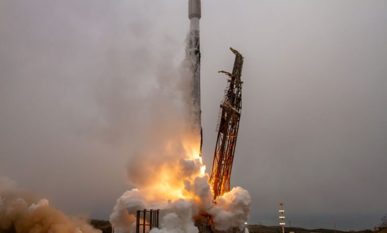
Six new satellites for ICEYE and its customers launched aboard the Transporter-14 rideshare mission
ICEYE, the global leader in Synthetic Aperture Radar (SAR) satellite operations and primary provider of critical infrastructure for intelligence, surveillance, and reconnaissance (ISR) to allied nations, has successfully launched and deployed six new SAR satellites into orbit, serving dedicated customer missions and expanding its own SAR satellite constellation – the largest in the world. This launch brings ICEYE’s total launched…
Read More » -
Press Releases

ICEYE launches four new satellites and introduces its new Generation 4 satellite
ICEYE, the global leader in synthetic aperture radar (SAR) satellite imaging for high-fidelity Earth Observation, persistent monitoring, and natural catastrophe solutions, has successfully launched four new 25 cm resolution satellites, strengthening the company’s SAR satellite constellation, the largest in the world. Among the satellites was ICEYE’s Generation 4 satellite (“Gen4”), marking another leap in the company’s rapid innovation in SAR…
Read More » -
Press Releases

ICEYE launches four new satellites and introduces its new Generation 4 satellite
ICEYE, the global leader in synthetic aperture radar (SAR) satellite imaging for high-fidelity Earth Observation, persistent monitoring, and natural catastrophe solutions, has successfully launched four new 25 cm resolution satellites, strengthening the company’s SAR satellite constellation, the largest in the world. Among the satellites was ICEYE’s Generation 4 satellite (“Gen4”), marking another leap in the company’s rapid innovation in SAR…
Read More » -
NASA

NASA-ISRO Mission Will Map Farmland From Planting to Harvest
Data from the NISAR satellite will be used to map crop growth, track plant health, and monitor soil moisture — offering detailed, timely information for decision making. When it launches this year, the NISAR (NASA-ISRO Synthetic Aperture Radar) satellite will provide a powerful data stream that could help farmers in the U.S. and around the world. This new Earth mission…
Read More » -
NASA
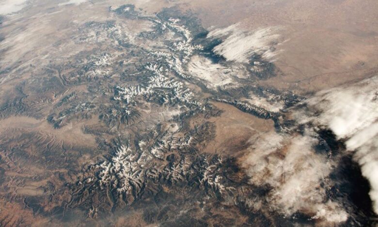
New NASA Instrument for Studying Snowpack Completes Airborne Testing
Summer heat has significant effects in the mountainous regions of the western United States. Melted snow washes from snowy peaks into the rivers, reservoirs, and streams that supply millions of Americans with freshwater—as much as 75% of the annual freshwater supply for some states. But as climate change brings winter temperatures to new highs, these summer rushes of freshwater can sometimes…
Read More » -
NASA

NASA G-IV Plane Will Carry Next-Generation Science Instrument
In June 2024, a new tail number swept the sky above NASA’s Armstrong Flight Research Center in Edwards, California. Pilots conducted flights of a Gulfstream IV (G-IV) to evaluate its handling characteristics and to familiarize pilots with it before it begins structural modifications. The research plane is joining the center’s fleet serving NASA’s Airborne Science program. The G-IV will carry…
Read More »