USGS

  • NASA

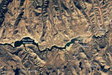
    Examining Algal Blooms in Blue Mesa

    he summers of 2021 and 2022 were tough seasons for Colorado’s Blue Mesa Reservoir. A severe drought gripped much of the western U.S., prompting emergency water releases that brought the reservoir to its lowest level since 1984. Marinas and boat ramps closed, remnants of a ghost town emerged from the muck, and parts of the reservoir turned greenish and swirled with toxic cyanobacteria blooms. Research conducted by scientists…

    Read More »
  • NASA

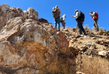
    NASA, USGS Scientists Go Rock Hounding in California’s High Desert

    Equipped with rock picks and hand lenses, a team of geoscientists deployed to the Mojave Desert recently to investigate a tantalizing “fingerprint” detected by a NASA sensor. Their target: a cache of topaz hiding in plain sight. The geologists weren’t searching for gem-grade treasure. Rather, the presence of topaz could hint at a more valuable deposit below of something known…

    Read More »
  • NASA

    2026 William T. Pecora Award Nominations Now Being Accepted

    By USGS Landsat Missions  The William T. Pecora Award is presented annually to individuals or teams using satellite or aerial remote sensing that make outstanding contributions toward understanding the Earth (land, oceans, and air), educating the next generation of scientists, informing decision-makers, or supporting natural or human-induced disaster response. Both national and international nominations are welcome. The award is sponsored jointly…

    Read More »
  • Press Releases

    Nextdoor Expands Critical Information Access With USGS Earthquake Alerts

    Nextdoor Holdings, Inc. (NYSE: NXDR), the essential neighborhood network, today announced expanded integrations for Nextdoor Alerts, implementing real-time earthquake data from the U.S. Geological Survey (USGS). This integration, along with the recent addition of Waze’s road and traffic data, significantly broadens the scope of critical, timely information available on Nextdoor – cementing the platform’s real-time value. Since launching Nextdoor Alerts as part of…

    Read More »
  • NASA

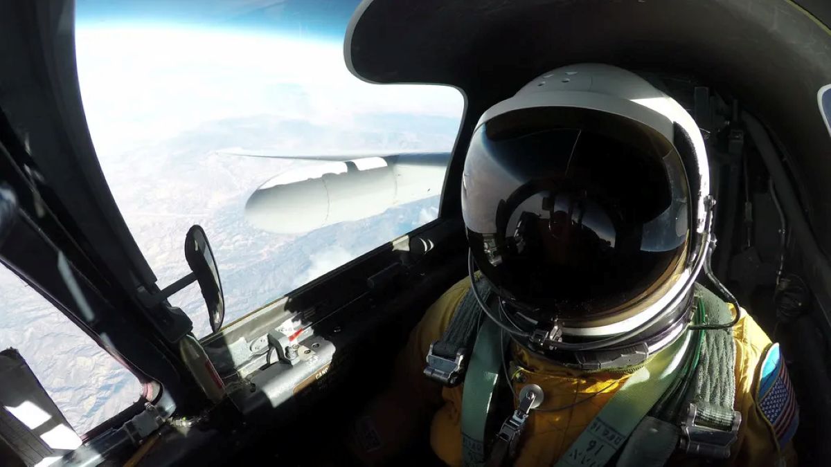
    Meet Mineral Mappers Flying NASA Tech Out West

    NASA and the U.S. Geological Survey have been mapping the planets since Apollo. One team is searching closer to home for minerals critical to national security and the economy. If not for the Joshua trees, the tan hills of Cuprite, Nevada, would resemble Mars. Scalded and chemically altered by water from deep underground, the rocks here are earthly analogs for…

    Read More »
  • NASA

    Sols 4511-4512: Low energy after a big weekend?

    Written by Lauren Edgar, Planetary Geologist at USGS Astrogeology Science Center Earth planning date: Monday, April 14, 2025 We all know the feeling: it’s Monday morning after a big weekend and you’re coming into the week wishing you’d had a little more time to rest and recharge.  Well, Curiosity probably feels the same way today. Curiosity accomplished a lot over…

    Read More »
  • NASA

    Sols 4491-4492: Classic Field Geology Pose

    Written by Lauren Edgar, Planetary Geologist at USGS Astrogeology Science Center Earth planning date: Monday, March 24, 2025 If you’ve ever seen a geologist in the field, you may have seen a classic stance: one leg propped up on a rock, knee bent, head down looking at the rocks at their feet, and arm pointing to the distant stratigraphy. Today…

    Read More »
  • NASA

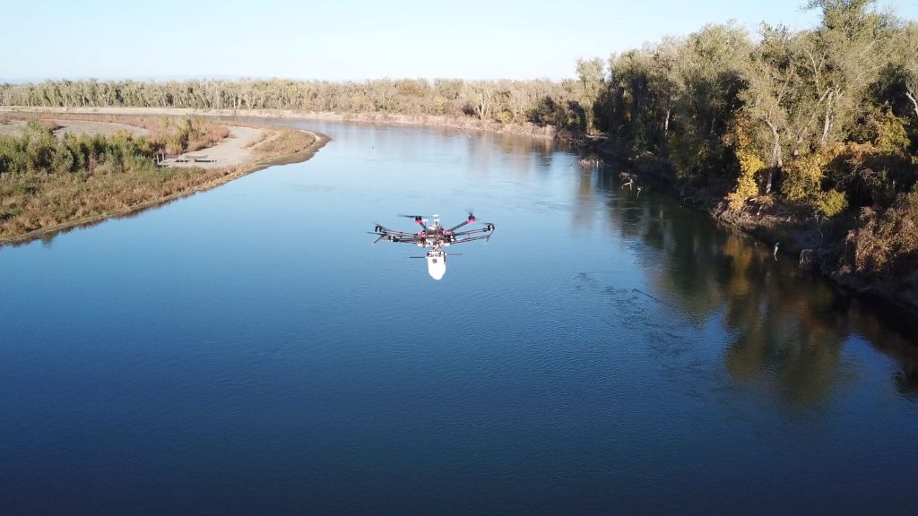
    ‘Current’ Events: NASA and USGS Find a New Way to Measure River Flows

    A team of scientists and engineers at NASA and the U.S. Geological Survey (USGS) collaborated to see if a small piloted drone, equipped with a specialized payload, could help create detailed maps of how fast water is flowing. Rivers supply fresh water to our communities and farms, provide homes for a variety of creatures, transport people and goods, and generate…

    Read More »
  • NASA

    NASA Open Science Initiative Expands OpenET Across Amazon Basin  

    The research teams who help sustain the largest freshwater reserve in the world are developing a new tool to promote more resilient farming systems in Brazil. The goal is to help farmers better handle changes in the water cycle, deal with droughts, and adapt to a changing climate.  The Large-Scale Hydrology Research Group hosted at the Federal University of Rio…

    Read More »
  • NASA

    NASA Maps Minerals and Ecosystem Function in Southwest U.S. Regions

    In September 2023, NASA aircraft began supporting an effort to find and map critical mineral deposits in Western regions of the U.S. Identifying these minerals – often used in everyday products like laptops and cell phones – could help improve environmental processes for mining and geological activities, enhance national security, and boost the economy. This project will continue through Fall…

    Read More »
Back to top button