USGS

  • NASA

    NASA, USGS Map Minerals to Understand Earth Makeup, Climate Change

    NASA and the U.S. Geological Survey (USGS) will map portions of the southwest United States for critical minerals using advanced airborne imaging. Hyperspectral data from hundreds of wavelengths of reflected light can provide new information about Earth’s surface and atmosphere to help scientists understand Earth’s geology and biology, as well as the effects of climate change. The research project, called…

    Read More »
  • NASA

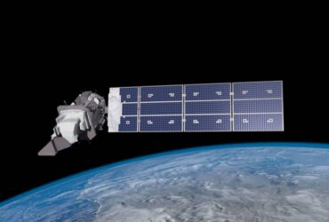
    NASA Transfers Landsat 9 Satellite to USGS to Monitor Earth’s Changes

    NASA transferred ownership and operational control on Thursday of the Landsat 9 satellite to the U.S. Geological Survey (USGS) in a ceremony in Sioux Falls, South Dakota. Landsat 9 is the most recent in the Landsat series of remote-sensing satellites, which provide global coverage of landscape changes on Earth. The Landsat program – a joint effort between NASA and USGS…

    Read More »
  • NASA

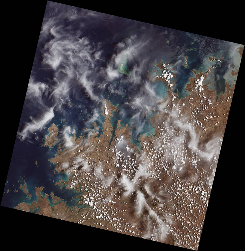
    NASA, USGS Release First Landsat 9 Images

    Landsat 9, a joint mission between NASA and the U.S. Geological Survey (USGS) that launched Sept. 27, 2021, has collected its first light images of Earth. The images, all acquired Oct. 31, are available online. They provide a preview of how the mission will help people manage vital natural resources and understand the impacts of climate change, adding to Landsat’s unparalleled…

    Read More »
  • NASA Awards Launch Services Contract for Landsat 9 Mission

    NASA has selected United Launch Services LLC (ULS) of Centennial, Colorado, to provide launch services for the Landsat 9 mission. The mission is currently targeted for a contract launch date of June 2021, while protecting for the ability to launch as early as December 2020, on an Atlas V 401 rocket from Space Launch Complex 3E at Vandenberg Air Force…

    Read More »
Back to top button