Earth planning day: Wednesday, May 15, 2024
The rover planning engineers yet again did a great job navigating through the large bedrock blocks that litter the terrain in front of us. We are getting ever closer to being able to cross the Gediz Vallis channel and associated deposits, a feature we identified long before landing and of high scientific interest. As a member of the group responsible for planning the observations we hope to get on the Gediz Vallis deposits and associated landforms (called the Channel Surfers), I am very excited to finally be at this point in the mission. To help decide where to drive onto the deposit, we are driving a little closer to the edge and taking extra post-drive imaging to aid in that decision. We are also acquiring a large Mastcam mosaic of an area of the deposit we hope to study in more detail, “Arc Pass.”
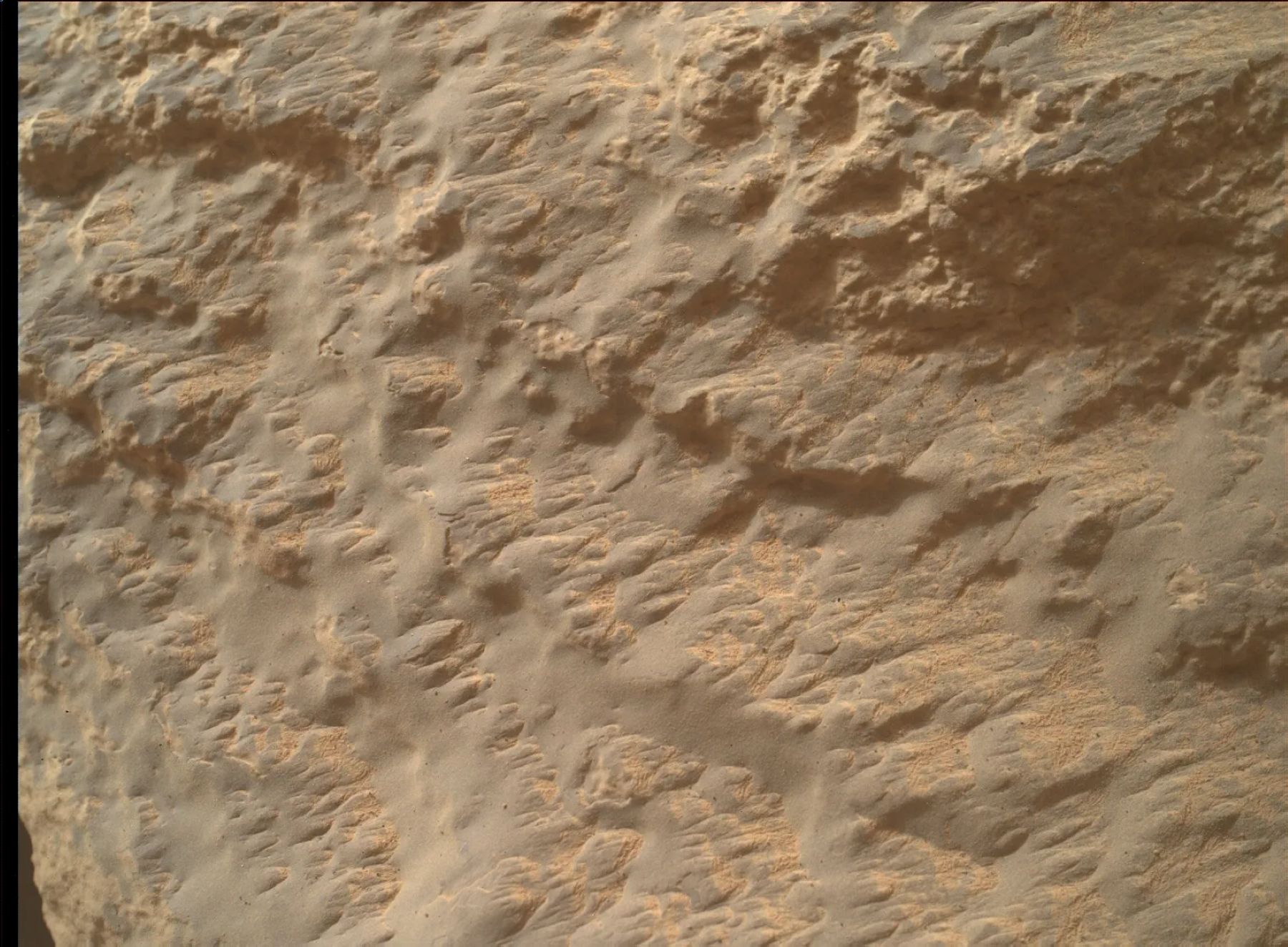
Before we drive, we will of course acquire lots of science observations from our current location. The workspace in front of the rover contained an interesting textured block that immediately drew all our attention – a polygonally patterned erosional feature (“Tuolumne Meadows”) that we were able to place the rover’s arm on for contact science. We will also be able to brush it and clear the dust before analyzing with APXS for chemistry and MAHLI for the fine-scale texture. ChemCam will also analyze the same spot, as well as the front face of the same block (“Wapama Falls”), which will also be documented by Mastcam. To compare with this block, we are also planning APXS and MAHLI on a separate, more typical looking bedrock block, “Parker Lakes.”
Looking a little further afield, the views continue to be stunning as we climb Mount Sharp, and so of course we wanted to document features of interest. The Yardang unit, high above us on Mount Sharp, is about to disappear from view, so we planned a ChemCam RMI mosaic to capture structures and textures. A little closer to the rover, we will also image another area of the “Pinnacle Ridge” section of the Gediz Vallis deposit to continue documenting the textures and structures associated with this relatively young feature in Gale crater.
The team also planned a series of observations to monitor environmental and atmospheric conditions. These included Navcam dust devil and suprahorizon movies, a line of sight scan and deck monitoring. Standard DAN and RAD round out this jam-packed plan.
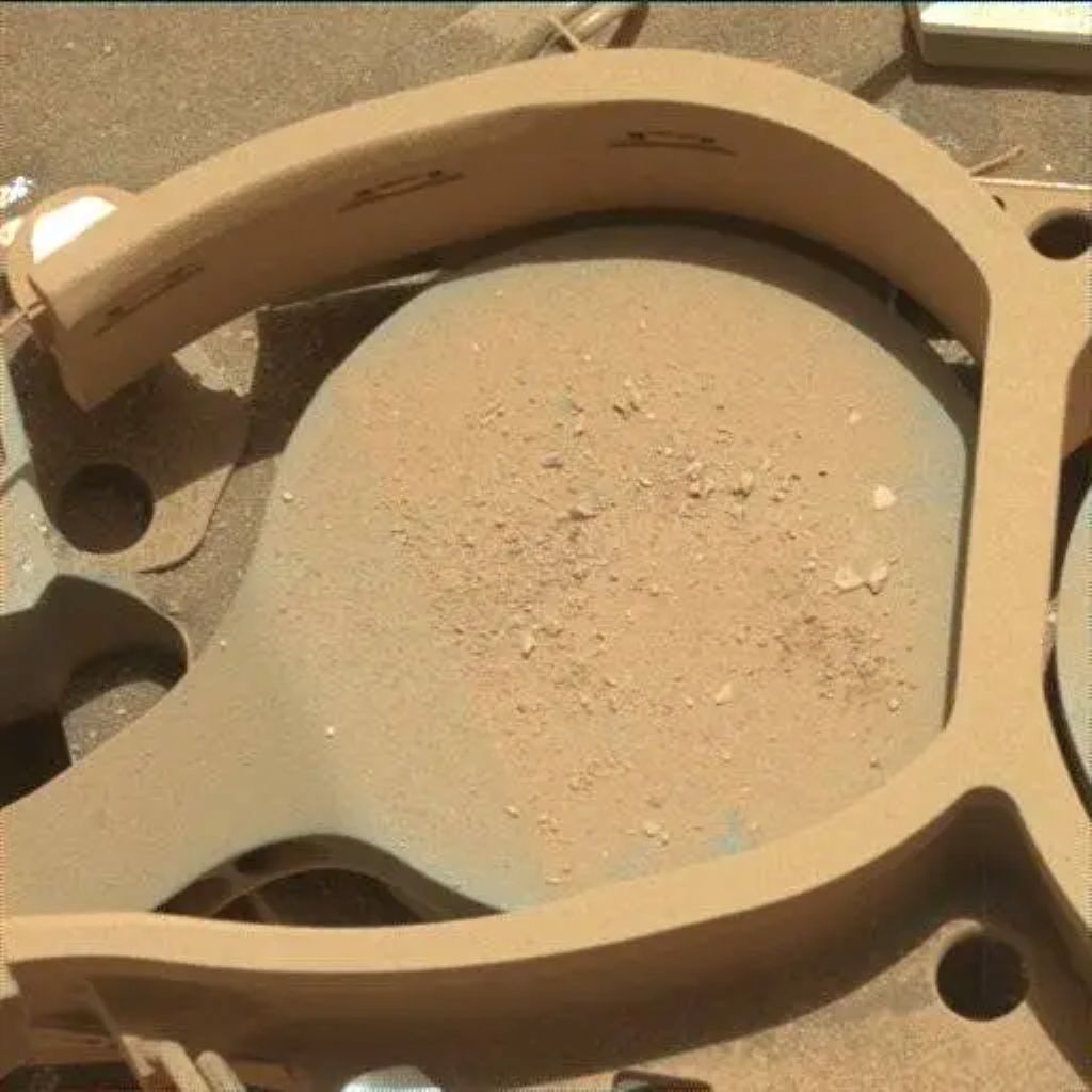
As the APXS strategic planner this week, and as a Channel Surfer, I am excited for the downlink from this plan, and for the upcoming investigations of the Gediz Vallis deposit. To whet our appetite, we got down the results of APXS and MAHLI observations from the previous plan on an interesting textured, included block from the deposit. See the image associated with this post to marvel at the “Tenaya Lake” rock.
Written by Lucy Thompson, Planetary Geologist at University of New Brunswick