
NASA
-
NASA
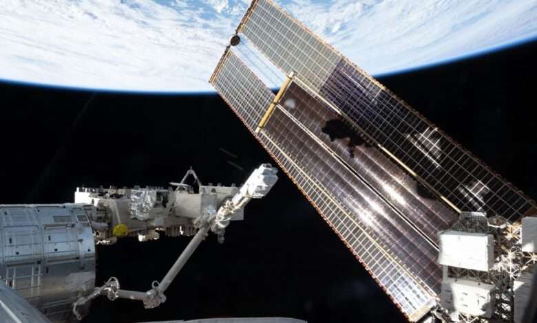
Small But Mighty Lab Device Could Transform NASA Research
A small but mighty piece of lab equipment, about the size of a cellphone, has arrived at the International Space Station after launching with NASA’s SpaceX Crew-12 mission. NASA aims to use the off-the-shelf device, called a microplate reader, to conduct vital biological research in space and get real-time access to data. Demonstrations like this are part of NASA’s Commercially Enabled Rapid…
Read More » -
NASA
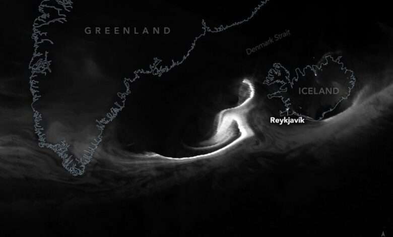
Northern Glow Spans Iceland and Canada
Although the aurora borealis, or northern lights, is most often observed in March and September, it can appear at other times of the year if conditions are right. For instance, in February 2026, a minor geomagnetic storm produced a striking display of light swirling across northern skies. The VIIRS (Visible Infrared Imaging Radiometer Suite) on the Suomi NPP satellite acquired these images in the early morning hours of…
Read More » -
NASA
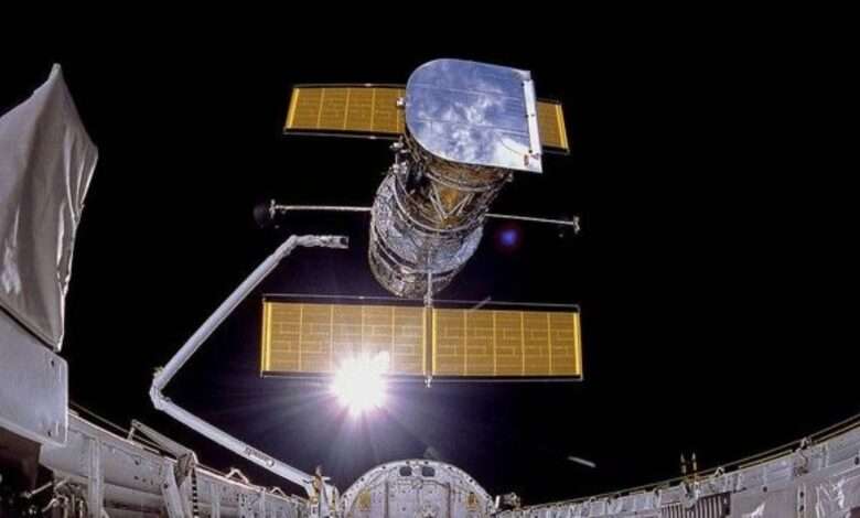
The Gestation of the Hubble
Looking through the atmosphere is like looking through a piece of old stained glass. The glass has defects that distort the image. The atmosphere also has defects that distort the image, but the defects in the atmosphere move, thus blurring the image as well. The glass is colored, so only some colors get through. Until the mid-20th century, that did…
Read More » -
Press Releases
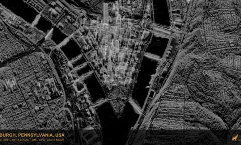
CSDA Program Announces Eight New Data Agreements
NASA’s Commercial Satellite Data Acquisition (CSDA) Program announced eight new agreements with seven of its commercial partners— Airbus Defense and Space GEO Inc (Airbus U.S.), Capella Space Corporation, ICEYE US, MDA Space, Planet Labs, Umbra, and Vantor (formerly Maxar)—to give users more access to near‑global multispectral and synthetic aperture radar (SAR) data. With these agreements, the CSDA program further advances its…
Read More » -
NASA
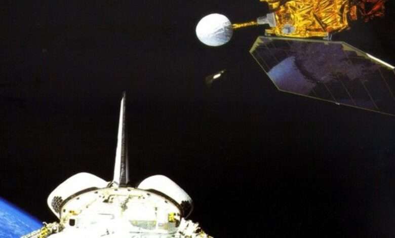
42 Years of Measuring the Sun, the Earth and the Energy in Between
On Jan. 31, 1958, Explorer 1 became the first satellite launched by the United States. Its primary science instrument, a cosmic ray detector, was designed to measure the radiation environment in Earth orbit. Though its final transmission was in May 1958, it continued to revolve around Earth more than 58,000 times. As those looping orbits continued, NASA was busy building…
Read More » -
NASA
Notes from the Field
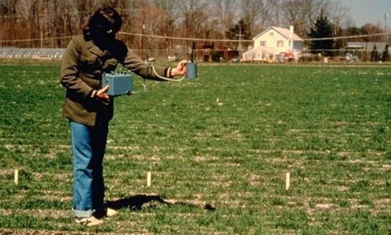
NASA scientists are able to study plants from space, but this wasn’t always the case. “I love using satellite data to study the Earth,” says Dr. Compton “Jim” Tucker. When Tucker was a graduate student, he and some friends discovered a new way to study photosynthesis. “We realized that there was a really strong connection with the plant pigment, chlorophyll,…
Read More » -
NASA
Peering Homeward, 1972
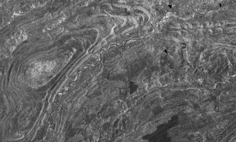
On July 23, 1972 the first civilian satellite designed to image Earth’s land surfaces was launched from Vandenberg Air Force Base in California. On board the satellite, originally named the Earth Resources Technology Satellite (ERTS), but later known as Landsat 1, were two sensors. The primary sensor, called the Return Beam Vidicon (RBV), used three shuttered cameras to take photographs;…
Read More » -
NASA
My NASA Experience
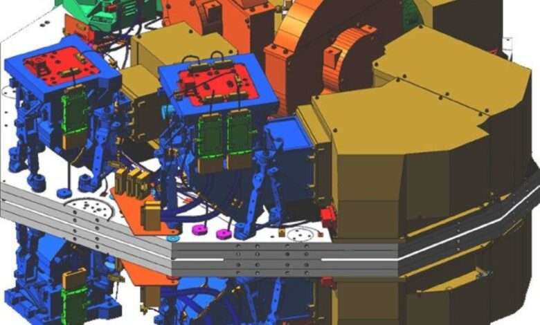
The development of infrared detector arrays is intertwined with my experiences working on NASA projects. As an astronomer at a university, my interactions with NASA all start with a proposal in response to an opportunity. In 1983, near-infrared detector arrays were beginning to attract the attention of astronomers. At the suggestion of Nancy Boggess at NASA Headquarters, we wrote a…
Read More » -
NASA
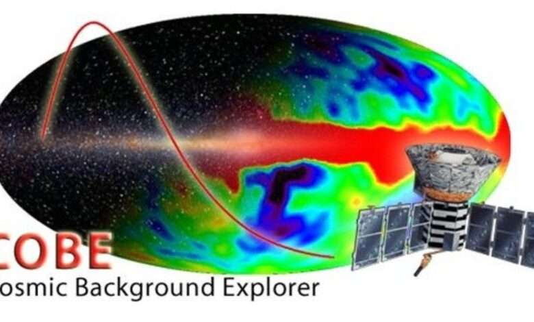
Measuring the Big Bang with the COBE satellite
The Cosmic Background Explorer satellite (COBE) went up on a Delta rocket on Nov. 18, 1989, into a polar sun-synchronous orbit 900 km up. Our team at NASA Goddard Space Flight Center (GSFC), Ball Aerospace, the Jet Propulsion Laboratory (JPL) and universities built it to look at the cosmic microwave and infrared background light that comes to us from the…
Read More » -
NASA
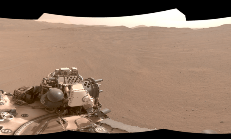
Perseverance Pinpoints Its Location at ‘Mala Mala’
Description Using its navigation cameras, NASA’s Perseverance Mars rover captured the five stereo pairs of images that make up this panorama on Feb. 2, 2026, the 1,762nd day, or sol, of the mission. A new technology called Mars Global Localization matched this 360-degree view to onboard orbital imagery from the agency’s Mars Reconnaissance Orbiter (MRO), enabling the rover to pinpoint…
Read More »