Satellite

  • NASA

    Winter’s End Is Written in the Clouds

    Winter 2026 roared to an end in southern Alaska as parts of the coast saw below-normal temperatures and bouts of moderate to heavy snow. Viewed from above, the region’s atmospheric instability was apparent in the striking display of cloud formations just offshore.  A NASA satellite captured this image of the clouds on March 19, 2026, the final day of astronomical…

    Read More »
  • Press Releases

    SpaceLocker Becomes a Satellite Operator and Launches Its First Shared Mission

    SpaceLocker is entering a new phase. Just one year after its first in-orbit mission, the French pioneer in orbital hosting announces the launch of Out of the Box, its first fully owned and operated satellite. This milestone marks its transition into the ranks of satellite operators – a domain historically dominated by legacy players such as Airbus, Thales, and Eutelsat. At the core of this…

    Read More »
  • NASA

    Fires Tear Through Nebraska Grasslands

    On the afternoon of March 12, 2026, a wildland fire ignited in Morrill County, Nebraska. Within 12 hours, high winds had propelled flames approximately 70 miles (110 kilometers) east-southeast across the prairie. The Morrill fire would burn over 640,000 acres (260,000 hectares) within a week, becoming the largest wildfire in the state’s history. This image (right) shows the extent of recently burned areas near…

    Read More »
  • NASA

    NISAR’s View of Mount Rainier

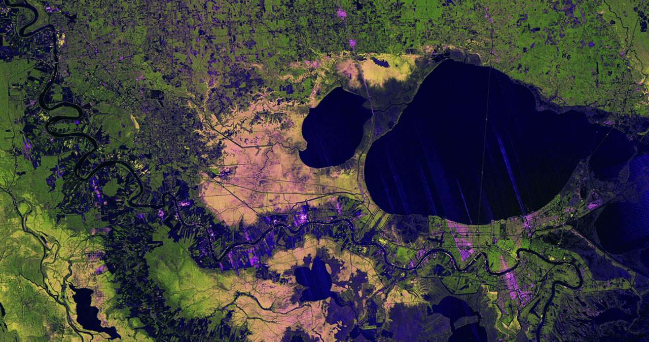
    Description This image captured by U.S.-Indian Earth satellite NISAR on Nov. 10, 2025, shows Washington’s Mount Rainier. The image is cropped from a much larger swath spanning the Pacific Northwest on a cloudy day; NISAR’s L-band SAR instrument is able to peer through the clouds at the surface below. In Pacific Northwest imagery from the NASA-ISRO Synthetic Aperture Radar mission,…

    Read More »
  • NASA

    NASA-ISRO Satellite Captures Pacific Northwest Through Clouds

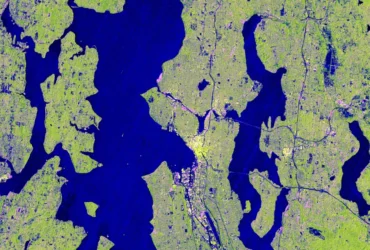
    Seattle and Portland, Oregon, are among the cloudiest cities in the United States. But that infamous cloud cover is no match for the U.S.-Indian Earth satellite NISAR (NASA-ISRO Synthetic Aperture Radar), which is designed to peer straight through clouds. Doing so allows scientists to study the Pacific Northwest’s natural landmarks and bustling port cities like never before. Comparing the highly…

    Read More »
  • Press Releases

    BlackSky Successfully Commissions Gen-3 in Less Than One Week Opening Gen-3 General Availability for Global Customer Base

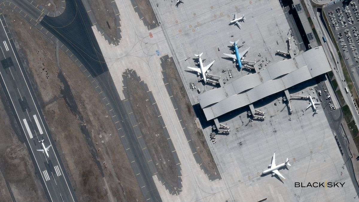
    BlackSky Technology Inc. (NYSE: BKSY) has successfully commissioned the fourth Gen-3 satellite in less than one week following launch, opening general availability for its advanced, next-generation Gen-3 capabilities to all global customers. This industry-leading achievement makes daily service for best-in-class 35-centimeter imagery and AI-enabled analytics available to customers through BlackSky Spectra. Commissioning our latest Gen-3 in just days gets critical…

    Read More »
  • NASA

    March 2026 Satellite Puzzler

    Every month, NASA Earth Observatory features a puzzling satellite image. The March 2026 puzzler appears above.  Your ChallengeIdentify the location shown in this satellite image. Share what clues you see, where you think it is, and what makes this place interesting or unique to you. How to AnswerSubmit your response using this form and select “Puzzler Answer” as the topic. Please include your preferred…

    Read More »
  • Press Releases

    BlackSky Fourth Gen-3 Satellite Achieves On-Orbit First Light Operations Within Hours

    BlackSky Technology Inc. (NYSE: BKSY) delivered first light imagery from its fourth Gen-3 satellite within hours following launch. As the Gen-3 constellation continues to expand, this milestone adds vital on-orbit capacity for warfighters and illustrates how the company’s best-in-class 35-centimeter satellites are meeting the global customer demand for responsive, tactical ISR at real-time mission speed. By consistently reducing launch-to-first light down…

    Read More »
  • NASA

    US-French Satellite Takes Stock of World’s River Water

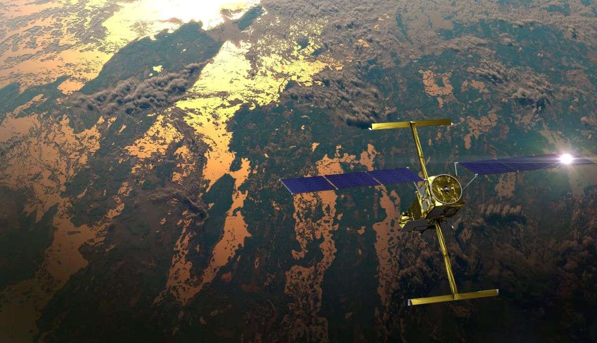
    In a first, a space mission led by NASA and France has tracked Earth’s rivers swelling and shrinking from month to month over the course of a year and found significantly less of a swing than previous model-based estimates. A record drought in the Amazon likely influenced the tally made by the Surface Water and Ocean Topography (SWOT) satellite. The…

    Read More »
  • NASA

    Landsat 9: More Than Just A Picture

    For over 50 years, the Landsat program has provided the longest continuous satellite record of Earth’s land surface from space. Landsat 9, launched in 2021, is the latest mission in this remarkable legacy — building on decades of Earth observation with upgraded technology, including enhanced radiometric resolution, improved signal-to-noise performance, and polar night thermal imaging. Working in tandem with Landsat…

    Read More »
Back to top button