


NASA’s Hurricane Science, Tech, Data Help American Communities
- NASA supports hurricane preparedness and response by providing satellite data and science before, during, and after storms.
- During hurricane season, NASA delivers timely flood maps, power outage insights, landslide risk assessments, and more to state and federal partners.
- NASA tests innovative technologies, from AI models to mini satellites, to enhance how we monitor hurricanes and their impacts.
- NASA’s long-term tracking of wind, ocean heat, and atmospheric moisture improves understanding of where hurricanes might form and intensify.
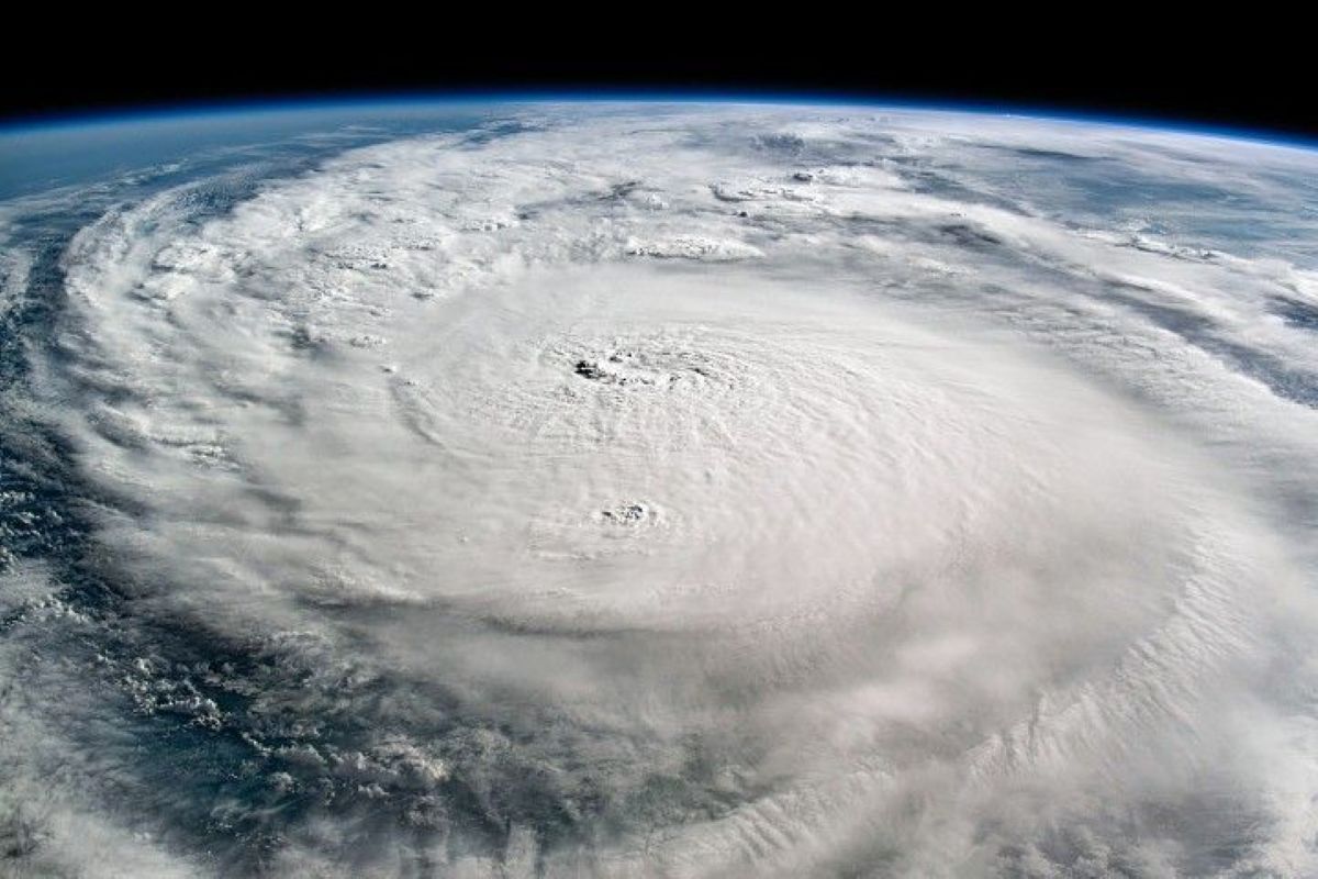
With the Atlantic hurricane season underway, NASA is again gearing up to produce cutting-edge research that strengthens the nation’s ability to prepare for and respond to severe weather. From satellite imagery of our planet to improved storm modeling, the agency’s work supports communities in anticipating and reducing the impacts of hurricanes.
In 2024, hurricanes including Helene and Milton showed NASA’s wide-ranging capabilities. As the storms approached the United States, the agency’s network of satellites and scientists swung into action. Within hours of landfall, NASA’s Disasters Response Coordination System was supplying emergency managers and others with flood maps, power outage assessments, and other crucial data.
“People might be surprised how deeply NASA is involved in hurricane science,” said Scott Braun, a research meteorologist at NASA’s Goddard Space Flight Center in Greenbelt, Maryland. “We are not the agencies issuing forecasts or warnings, but our technologies and science are making fundamental contributions to how we understand, predict, and respond to these storms.”
Disaster Response Powered by NASA
When hurricanes strike, NASA’s Disasters Response Coordination System aids state and federal agencies, producing and sharing imagery and data, including the NASA Disasters Mapping Portal, which offers tools to assess storm damage.
One crucial tool is NASA’s Black Marble product suite, produced and maintained by NASA Goddard. Using data from the Visible Infrared Imaging Radiometer Suite (VIIRS), researchers and others can map nighttime lights and detect power outages.
Unlike traditional outage maps, which often show only county-level data, NASA’s Black Marble can provide a more detailed view. It offers calibrated, daily observations, enabling high-confidence tracking of neighborhood-level impacts. Emergency response teams in Florida, for instance, have used this imagery to assess conditions near hazardous waste sites before heading into the field after a hurricane.
Got a Questions?
Find us on Socials or Contact us and we’ll get back to you as soon as possible.