
NASA
-
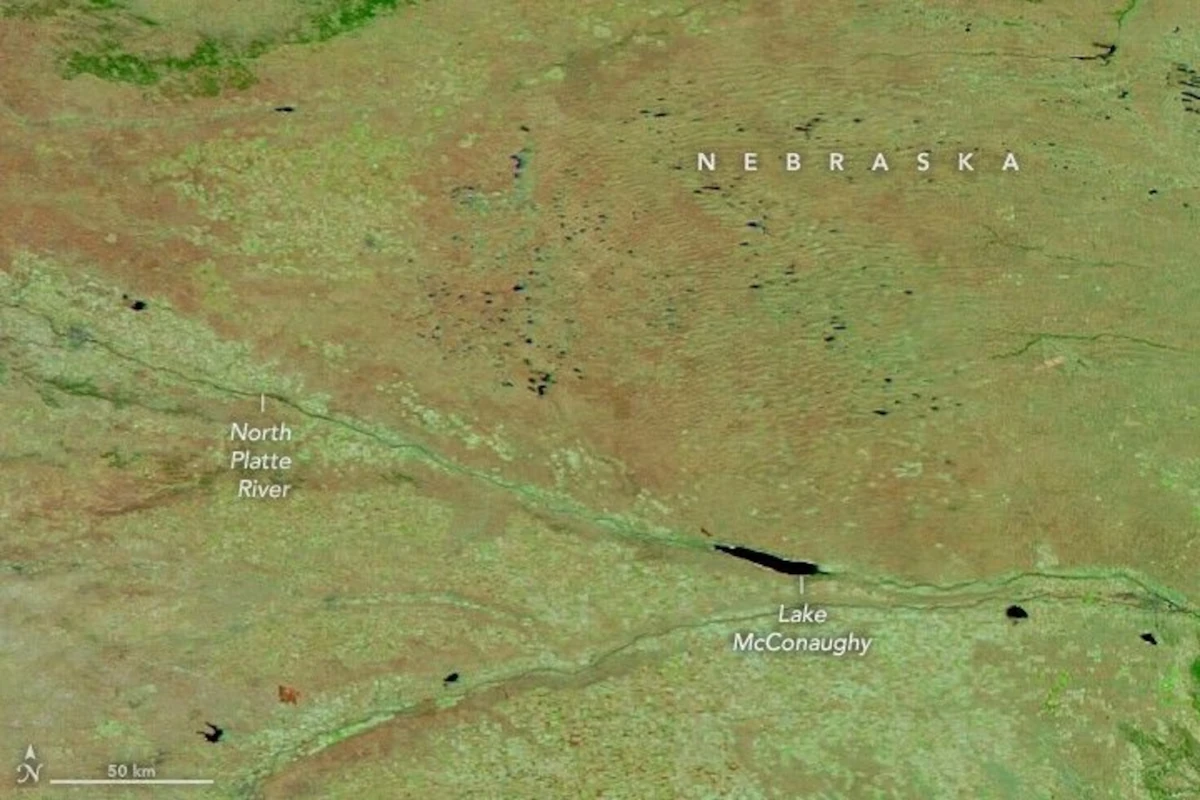
Fires Tear Through Nebraska Grasslands
On the afternoon of March 12, 2026, a wildland fire ignited in Morrill County, Nebraska. Within 12 hours, high winds had propelled flames approximately 70 miles (110 kilometers) east-southeast across the prairie. The Morrill fire would burn over 640,000 acres (260,000 hectares) within a week, becoming the largest wildfire in the state’s history. This image (right) shows the extent of recently burned areas near…
Read More » -
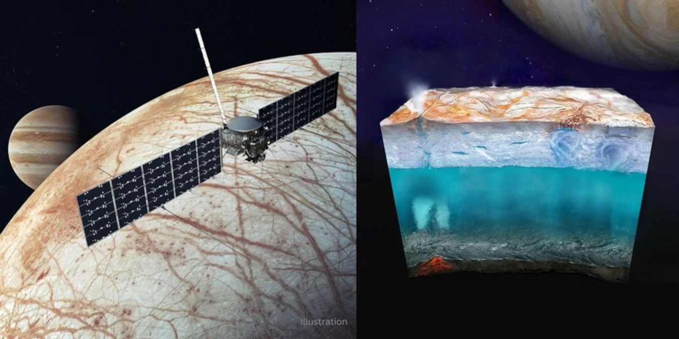
Developing Robust Electronics That Can Withstand Harsh Conditions on Cold Planetary Bodies
A NASA-sponsored team has developed electronics that can operate reliably in the harsh radiation and temperature conditions found on distant planetary bodies like Europa, an ocean world orbiting Jupiter. Not only could this new technology enable autonomous sensors and robotic exploration of distant ocean worlds, it could also support NASA’s goal to establish human outposts on the Moon and Mars…
Read More » -

NASA Names Scientists to Support Lunar South Pole Science
NASA has selected 10 participating scientists to help shape a science plan for astronauts to complete on the lunar surface under the Artemis program – including deploying scientific instruments, making critical observations of the landing site, and collecting Moon rocks. “Congratulations to the scientists selected to participate in this important Artemis lunar surface science team,” said Joel Kearns, deputy associate…
Read More » -
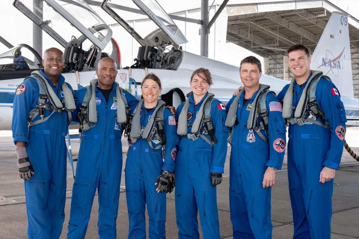
Sendoff for Artemis II Crew
From left to right, NASA astronauts Andre Douglas, Victor Glover, and Christina Koch, CSA (Canadian Space Agency) astronauts Jenni Gibbons, NASA astronaut Reid Wiseman, and CSA astronaut Jeremy Hansen pose for a photo before the Artemis II crew proceed to a media event on March 27, 2026. Douglas and Gibbons are the backup crew members for the mission; they would join the crew if…
Read More » -
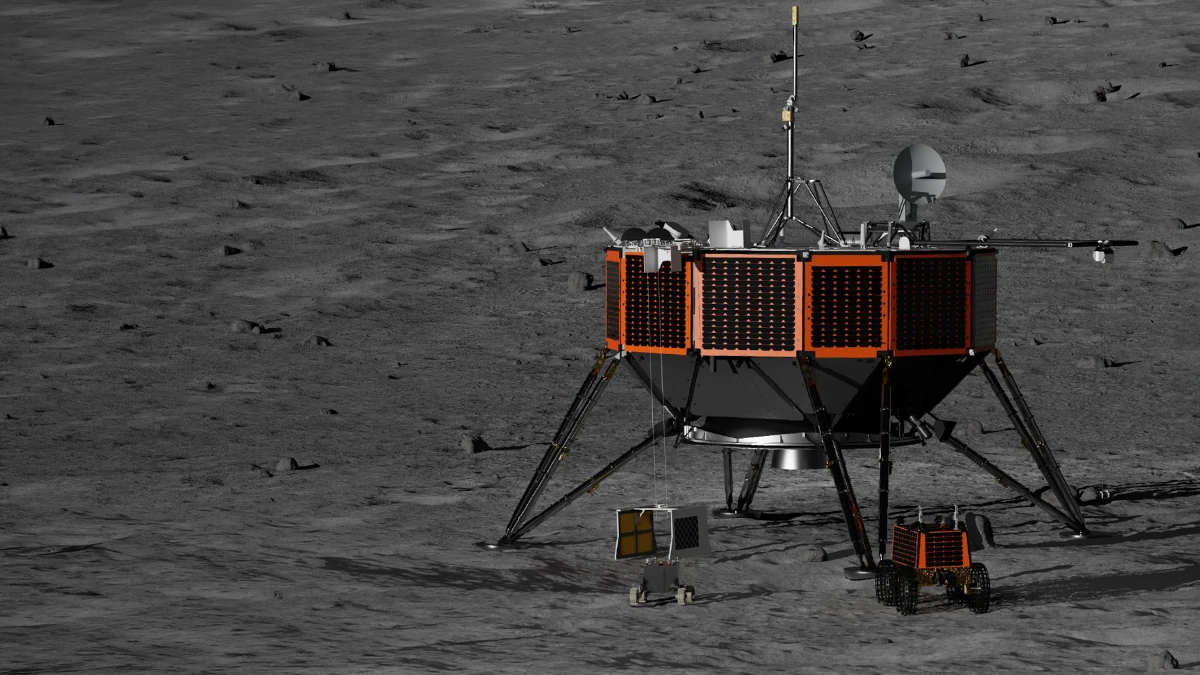
NASA Selects Intuitive Machines to Deliver Artemis Science, Tech to Moon
NASA has awarded Intuitive Machines of Houston, $180.4 million to deliver NASA-funded science and technology to the lunar surface as part of the agency’s CLPS (Commercial Lunar Payload Services) initiative and Artemis program. This lunar delivery, which includes seven payloads — five of them NASA’s — is expected to increase understanding of the chemical composition and structure of regolith, as…
Read More » -
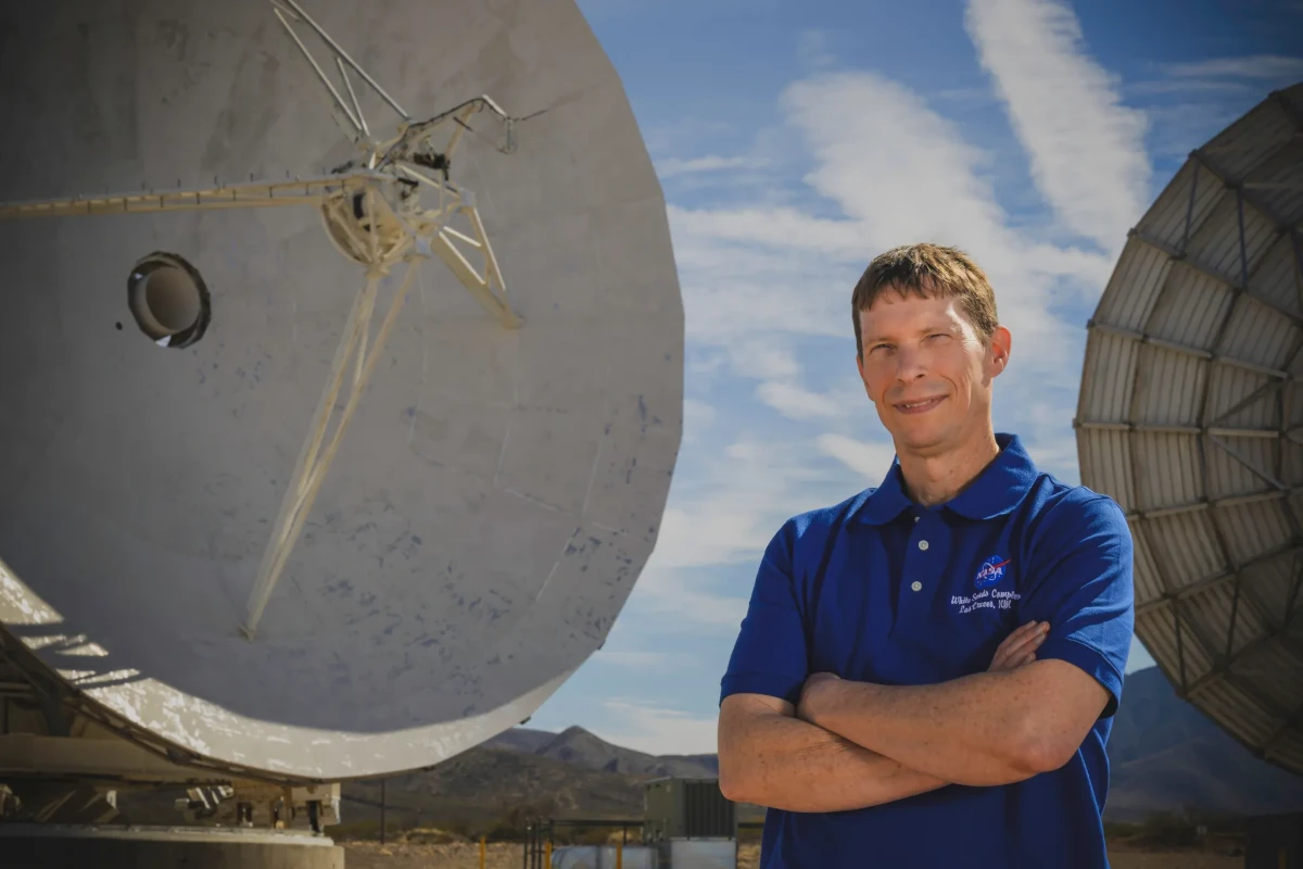
I Am Artemis: Erik Richards
For Erik Richards, supporting NASA’s first crewed Artemis mission to the Moon and back is the culmination of a career spent helping spacecraft communicate with Earth. Like many kids who grew up at the height of the Space Shuttle Program, Richards dreamed of spaceflight — a dream that eventually took him from the remote McMurdo Station in Antarctica to NASA’s Goddard Space Flight Center in Greenbelt, Maryland. I’ve spent my entire career moving across NASA’s network. At its core, it’s…
Read More » -
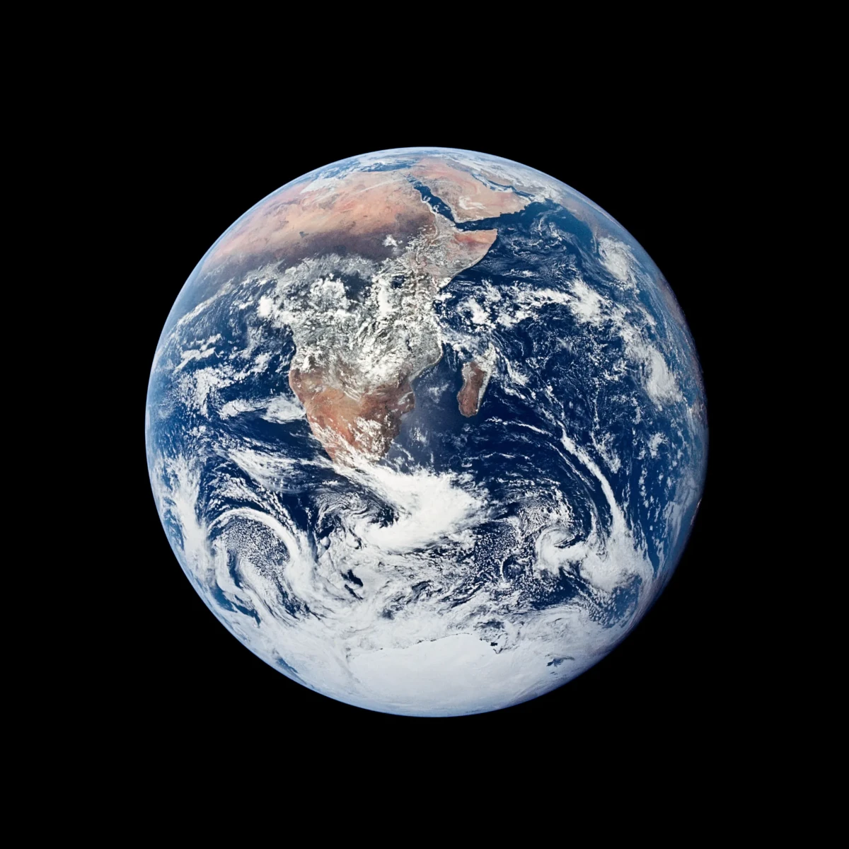
NASA’s Environment and Energy “Blue Marble” Awards Categories
Category I: NASA Environmental Quality Award Recognizes excellence in environmental management and planning, including stewardship of natural and cultural resources. This category highlights achievements in compliance, conservation, remediation, communication, and environmental information management, and the development of strong stakeholder partnerships. Category II: NASA Award for Excellence in Project or Program Execution Honors efforts that reduce cost, time, or level of…
Read More » -
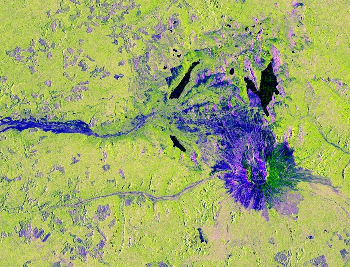
NISAR Views Mount St. Helens
Description This image captured by U.S.-Indian Earth satellite NISAR on Nov. 10, 2025, shows Washington’s Mount St. Helens. The image is cropped from a much larger swath spanning the Pacific Northwest on a cloudy day; NISAR’s L-band SAR instrument is able to peer through the clouds at the surface below. In Pacific Northwest imagery from the NASA-ISRO Synthetic Aperture Radar…
Read More » -
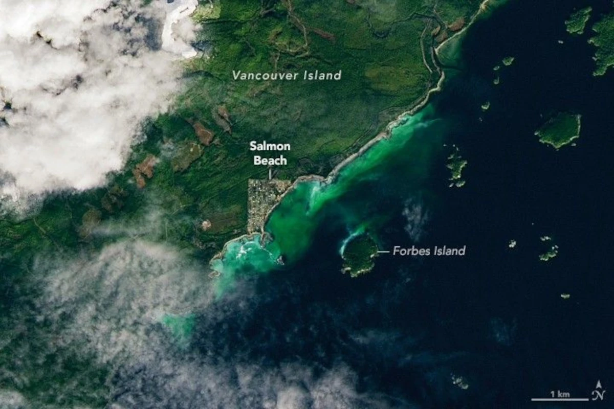
Satellite Spots a Spawn
Spawning season has sprung for Pacific herring (Clupea pallasii) in the waters off British Columbia, Canada. From mid-February through early May each year, thousands of the small, silvery fish congregate in shallow coastal areas around Vancouver Island and create a spectacle sometimes visible to satellites. Sheltered waters in Barkley Sound, on the southwestern side of Vancouver Island, are regular sites for spawn events. On…
Read More » -
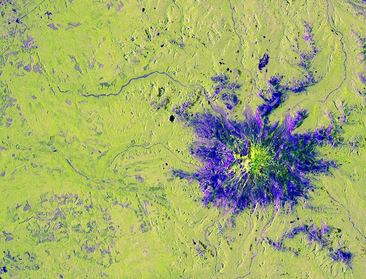
NISAR’s View of Mount Rainier
Description This image captured by U.S.-Indian Earth satellite NISAR on Nov. 10, 2025, shows Washington’s Mount Rainier. The image is cropped from a much larger swath spanning the Pacific Northwest on a cloudy day; NISAR’s L-band SAR instrument is able to peer through the clouds at the surface below. In Pacific Northwest imagery from the NASA-ISRO Synthetic Aperture Radar mission,…
Read More »