
NASA
-
NASA
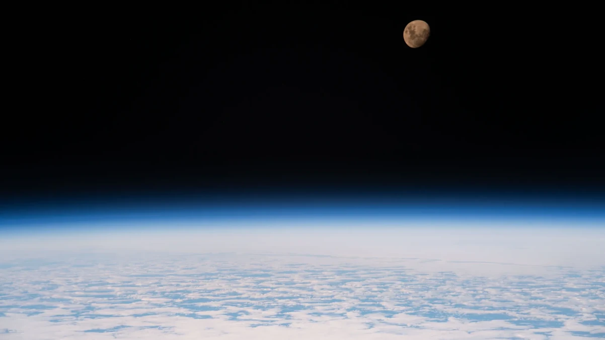
Waxing Gibbous Moon
The waxing gibbous moon is nestled in the darkness of space in this June 26, 2026, image from the International Space Station. The space station was 264 miles above the Indian Ocean southeast of Madagascar at the time. The waxing gibbous phase comes before the full moon phase. During this time, the Moon appears brighter in the night sky to viewers on Earth.…
Read More » -
NASA
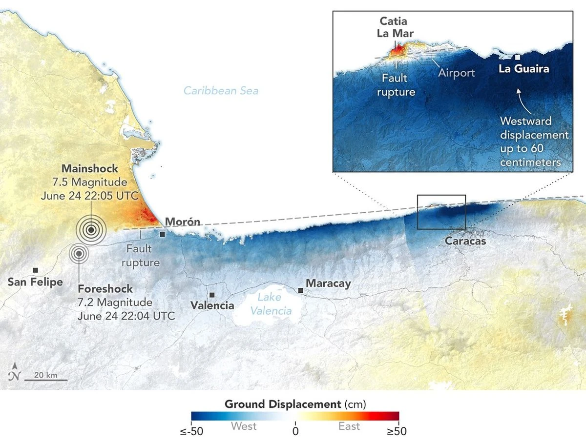
Where Venezuela’s Earthquakes Shifted the Ground
On June 24, 2026, a magnitude 7.2 earthquake struck northern Venezuela, followed under a minute later by a magnitude 7.5 mainshock. Together, the quakes left immense damage and loss of life across the region. In the days that followed, satellite-based maps of ground displacement revealed how the land surface moved, providing insight into the forces behind the severe destruction in locations…
Read More » -
NASA
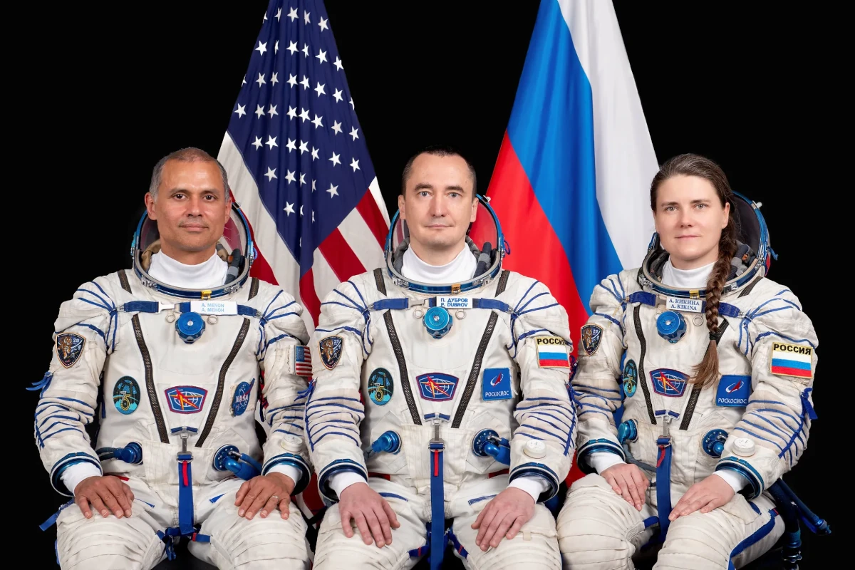
NASA Sets Coverage for Astronaut Anil Menon Launch to Space Station
NASA astronaut Anil Menon will launch aboard the Roscosmos Soyuz MS-29 spacecraft to the International Space Station on Tuesday, July 14, accompanied by cosmonauts Pyotr Dubrov and Anna Kikina, where they will join the Expedition 74 crew advancing scientific research. Menon, Dubrov, and Kikina will lift off at 10:47 a.m. EDT (7:47 p.m. Baikonur time) from the Baikonur Cosmodrome in…
Read More » -
NASA
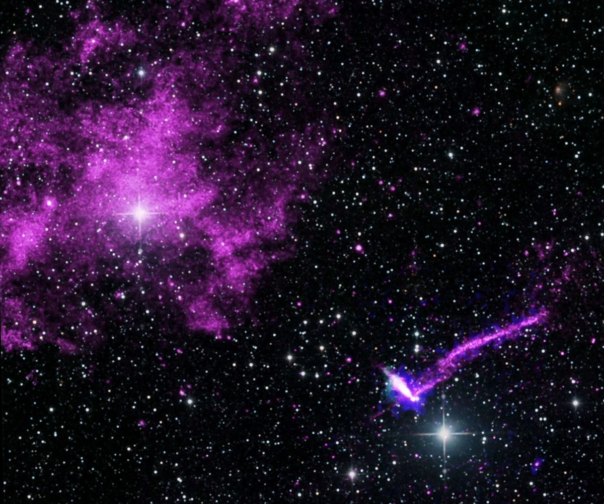
NASA Space Telescope Maps Magnetic Fields of ‘Lighthouse’ Pulsar
For the first time, scientists have used NASA’s IXPE (Imaging X-ray Polarimetry Explorer) to directly measure the magnetic fields of PSR J1101−6101, a pulsar located within what is often referred to as the Lighthouse Nebula. The results provide new insight into the structure of some of the most extreme objects in the cosmos, as NASA continues to explore the secrets…
Read More » -
NASA
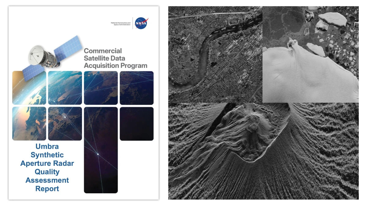
Principal Investigator and Quality Assessment Reports Evaluate Umbra Synthetic Aperture Radar Data
Two new reports from NASA’s Commercial Satellite Data Acquisition (CSDA) program evaluate data from the Umbra X-band Synthetic Aperture Radar (SAR) satellite constellation for the NASA Earth science research and applications community. The results of these evaluations help to inform NASA program management and the user community about the quality of these commercial data for use in NASA science. NASA’s…
Read More » -
NASA
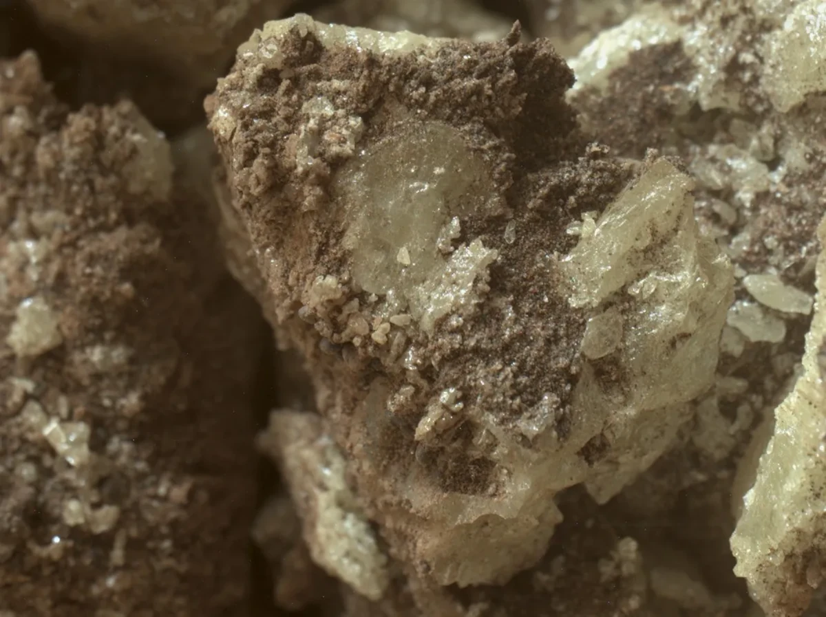
Curiosity Sees Martian Sulfur Up Close
This close-up view shows fragments of sulfur crystals — the first ever seen on the Red Planet. The crystals were found after NASA’s Curiosity Mars rover happened to drive over a rock and crush it on May 30, 2024. Several days later, Curiosity used a camera on the end of its robotic arm to take this image. A recent paper in Science…
Read More » -
NASA
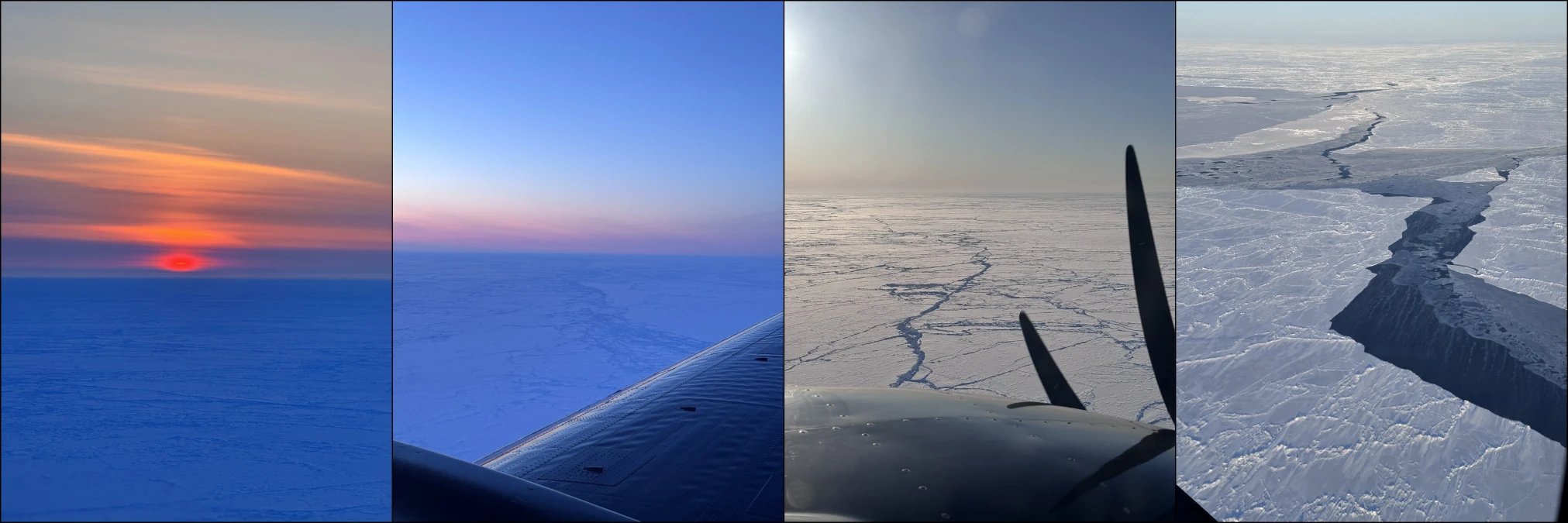
NASA Scientists Take to Air and Space to Study Arctic Sea Ice
This month, engineers at NASA’s Jet Propulsion Laboratory in Southern California are testing a spacecraft sensor that will help measure how quickly Arctic sea ice is disappearing. And while that instrument won’t launch for another year, scientists started preparing for its use during a recent field campaign in the Canadian wilderness. Researchers spent two weeks in April flying above the…
Read More » -
NASA

NASA Awards Contracts for Mars Advanced Surface Mobility Technology
July 8, 2026 C.13 NASA Awards Contracts for Mars Advanced Surface Mobility Technology NASA has selected seven companies for contract awards under the Mars Exploration Program’s Science Transport and Robotic Innovation for Deployment and Exploration, or STRIDE, initiative to advance next-generation commercial robotic surface mobility for future Mars exploration. The STRIDE awards will support the development of innovative robotic mobility…
Read More » -
NASA
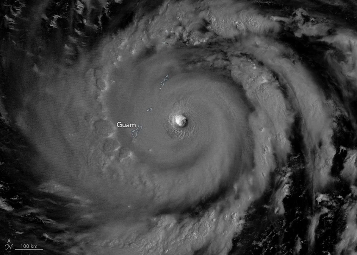
Super Typhoon Bavi
In early July 2026, for the second time in three months, a powerful typhoon crossed the U.S. Northern Mariana Islands and Guam in the North Pacific Ocean. Super Typhoon Bavi was at peak intensity when it neared the islands on the night of July 5, bringing winds of 290 kilometers (180 miles) per hour, along with torrential rain and dangerous…
Read More » -
NASA
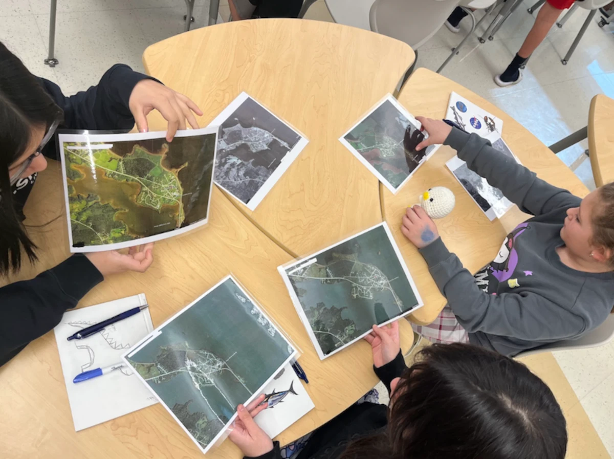
Students Connect NASA Science With Indigenous Knowledge to Study Coastal Erosion
Story by Keri Moskowitz, Gulf of Maine Research Institute For the Pleasant Point Passamaquoddy Reservation, or Sipayik, the ocean has always been a teacher. Situated in what is known as Downeast Maine, along the shores of Passamaquoddy Bay, generations of Indigenous people have lived along the coast, learning from the tides, the land, and their elders. But today, the shoreline…
Read More »